What is recorded here
Castlegrace Moat is a seven-metre gravel mound near Tullow that may have anchored the castle Hugh de Lacy gave Raymond Le Gros in 1175. It still dominates the Carlow fields, though 1970s cutting scarred its southern face and no ditch or bailey has ever appeared beside it. The mound resists easy explanation, preserving more of its shape and presence than most Norman earthworks in the area.
Castlegrace Moat is recorded as a archaeological place in County Carlow. Its open map record supplies this location and any linked names or public references.
Places near here
 Castlegrace MoatCastle, motte · 3 yd
 Enclosure in CastlegraceEnclosure · 600 yd
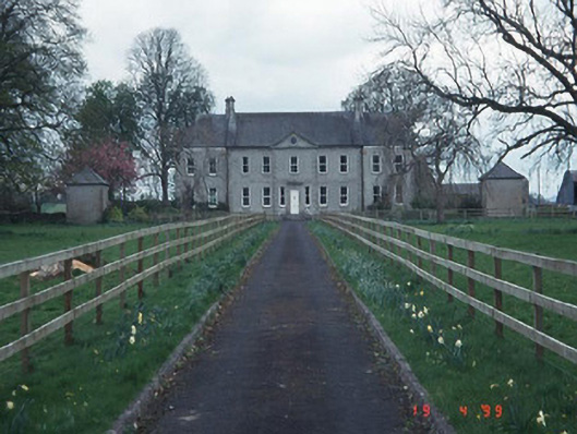 Sandbrook Househouse · 836 yd
 All Saints' Church (Aghade)church/chapel · 947 yd
 Ballymogue RathEnclosure · 1379 yd
 Church (in ruins), GraveyardChurch · 1.5 mi
 Scots PineScots Pine · 1.8 mi
 Altamont Gardens MapVisitor information · 1.8 mi
 Altamont House and GardensHeritage attraction · 1.9 mi
 CastleCastle, motte and bailey · 2.9 mi
 Kilmurry Church (in ruins), GraveyardChurch · 3.5 mi
 English hollyEnglish holly · 4.1 mi