What is recorded here
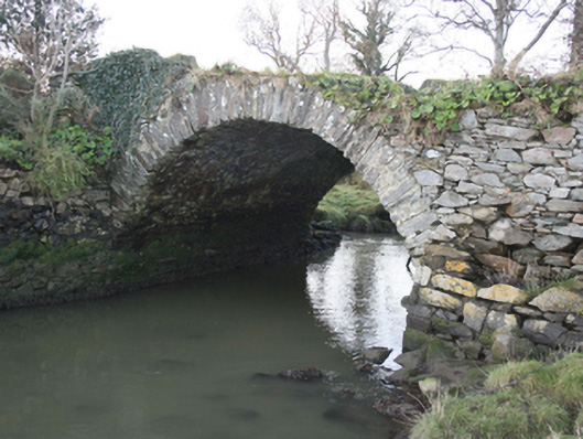
Single-arched bridge, built c. 1750 and possibly containing earlier fabric, carrying former road over small unnamed stream flowing into Lough Swilly adjacent to the east. Now out of use. Formerly associated with Castle Wray (now ruinous, see 40905304) and originally connecting demesne with now demolished flax and corn mills. Segmental-headed arch with roughly dressed stone voussoirs; squared rubble stone construction to arch barrel. Rubble stone construction to spandrels and abutments. Dwarf rubble stone parapets. Earthen or overgrown deck. Rubble stone containing walls to banks of stream. Located well back from road in former Castle Wray demesne a short distance to the south-east of ruins of house and outbuildings.
This simple but appealing single-arch bridge, probably originally dating to the mid eighteenth century though possibly containing earlier fabric, retains its original form and character despite being now out of use. It is sited in the former demesne of Castle Wray, and was apparently constructed to carry a laneway between the demesne to the south and a former flax and corn mill complex to the north bank (now ruinous). It is possible that this bridge or the site of the bridge predates the construction of the main house. It is robustly-constructed in local squared rubble stone masonry, and its continued survival and use stands as testament to the quality of its original construction, and of the skill of the masons involved. This largely forgotten feature now acts as an historical reminder of the Castle Wray and the Wray family who probably originally built it. The Wrays acquired this site during Plantation times, c. 1610, and built the original house shortly afterwards, which was a house ‘of lime and stone within its protecting bawn’. This simple bridge with an elegant wide single-arch with delicate deck over is an interesting addition to the landscape to the north-east of Letterkenny, and is an addition to the built heritage of the local area.
This does not grant access. Most recorded buildings are privately owned; view them only from public ground unless the owner allows entry.
Places near here
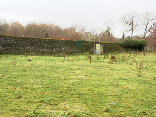 Castlegrovewalled garden · 300 yd
 European YewEuropean Yew · 588 yd
 RowanRowan · 662 yd
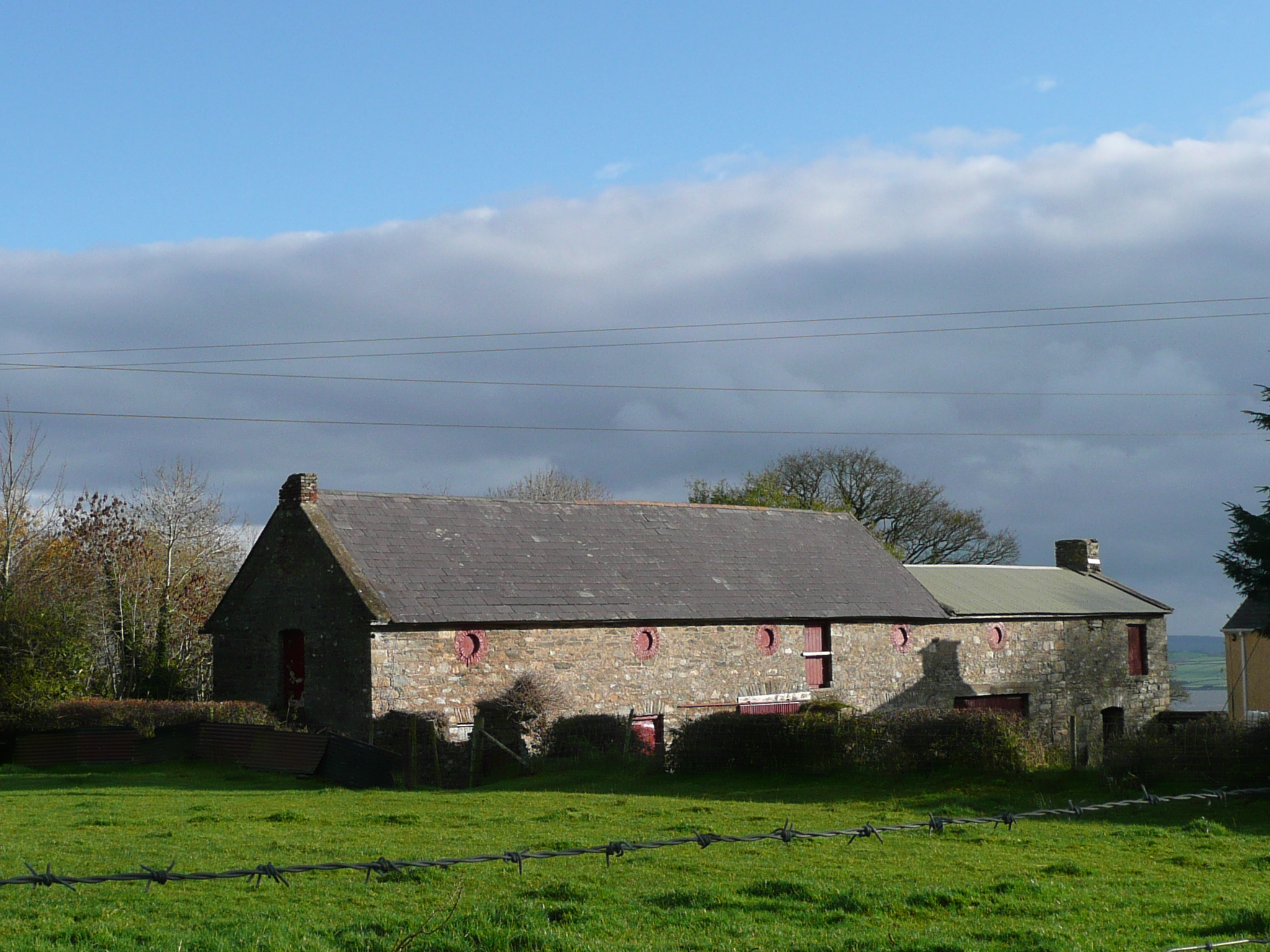 Castle Shanaghanoutbuilding · 1.0 mi
 Maghera Beg Cropmark EnclosureEnclosure · 1.8 mi
 Maghera More Fairy FortFairy fort / ringfort · 1.8 mi
 Tullyaughnish Old Church GraveyardGraveyard · 3.7 mi
 Bawn in RathmeltonBawn · 3.9 mi
 CastleCastle, unclassified · 4.3 mi
 Mongorry HillMountain / peak · 6.3 mi
 Battle of Scarrifholisbattle · 6.8 mi
 Gregory HillMountain / peak · 6.9 mi
Other information
Photo: National Inventory of Architectural Heritage · Website use allowed for educational or private purposes with source credit