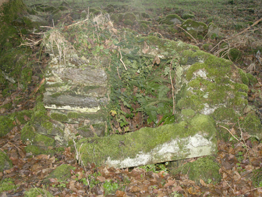
What is recorded here
Remains of former well house (on circular-plan) associated with Castle Wray (now ruinous, see 40905304), built c. 1750 and possibly containing earlier fabric. Rubble stone construction. Located to the west of the ruins of Castle Wray) adjacent to the east bank of small unnamed stream flowing into Lough Swilly to the east.
The modest remains of a former rubble stone well associated with Castle Wray (in ruins, see 40905304). It is robustly constructed in local rubble stone masonry and forms part of an interesting if fragmentary collection of structures associated with this formerly important demesne. It is possible that this well was originally associated with an earlier house or castle to site, which was built by the Wray family, c. 1610. This was a house ‘of lime and stone within its protecting bawn’. It is common to find wells within the confines of bawns for logical defensive reasons in the event of attack. This simple structure is an interesting addition to its pleasant location into the overgrown mature former demesne grounds, and is a modest addition to the built heritage of the local area.
This does not grant access. Most recorded buildings are privately owned; view them only from public ground unless the owner allows entry.
Places near here
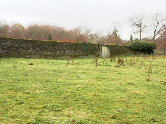 Castlegrovewalled garden · 178 yd
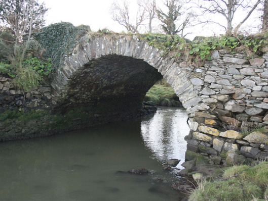 Castle Wraybridge · 278 yd
 European YewEuropean Yew · 640 yd
 RowanRowan · 709 yd
 Maghera Beg Cropmark EnclosureEnclosure · 1.9 mi
 Maghera More Fairy FortFairy fort / ringfort · 1.9 mi
 Tullyaughnish Old Church GraveyardGraveyard · 3.6 mi
 Bawn in RathmeltonBawn · 3.8 mi
 CastleCastle, unclassified · 4.4 mi
 Mongorry HillMountain / peak · 6.4 mi
 Battle of Scarrifholisbattle · 6.7 mi
 Gregory HillMountain / peak · 6.8 mi
Other information
Photo: National Inventory of Architectural Heritage · Website use allowed for educational or private purposes with source credit