What is recorded here
Marked on the 1839 and 19040 eds of the OS 6-inch map and described in gothic script on both as ‘Castle Well’. It is located towards the top of a W-facing slope and is only evident as a slightly wetter area. Mountgarrett castle (WX029-009001-) is c. 75m to the NE.
Compiled by: Michael Moore
Date of upload: 2 August, 2012
The monument record does not grant public access. Check the route and ask the landowner before entering private land.
- What survives
- Recorded monument
Places near here
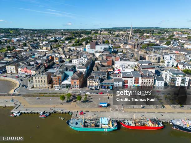 IndicatedBawn · 80 yd
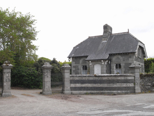 Woodville Housegate lodge · 400 yd
 Mac Murrough Housewalled garden · 838 yd
 Rag WellHoly well · 1002 yd
 TobernacallyHoly well · 1053 yd
 O'NeillMemorial · 1.2 mi
 DunbrodyHeritage attraction · 1.3 mi
 Ros Tapestry ExhibitionGallery · 1.3 mi
 Crutched FriarsMemorial · 1.4 mi
 Forest Of The DunbrodyForest · 2.2 mi
 Lacken HillMountain / peak · 2.3 mi
 HawthornHawthorn · 2.4 mi