
What is recorded here
Castle in Walshestown was a roofed rectangular chamber, roughly twelve metres long, squatting on the southern edge of a laneway that cut straight to the River Liffey. The road vanished in 1984, taking the last visible trace of the castle with it, leaving only level tillage and a name preserved on old maps. Whatever lived inside that narrow stone box has returned to the soil, forgotten by the fields but never truly erased.
In level tillage c. 180m NW of the River Liffey. Named ‘Castle’ and shown on the OS 25-inch map as a roofed rectangular structure (est. L c. 12m ENE-WSW; est. Wth c. 6m) on the S edge of a laneway leading to the river. In 1984, the laneway had been removed and there was no visible surface trace of the monument (SMR file).
Compiled by: Gearóid Conroy
Date of upload: 29 May 2012
The monument record does not grant public access. Check the route and ask the landowner before entering private land.
- What survives
- Recorded monument
Places near here
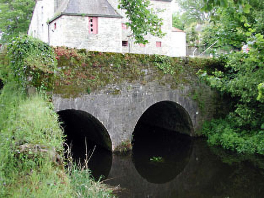 bridgebridge · 763 yd
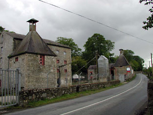 malt housemalt house · 782 yd
 Rosetown RathFairy fort / earthen ringfort · 892 yd
 Enclosure in GreatconnellEnclosure · 1170 yd
 Newbridge SilverwareMuseum · 1.4 mi
 IndicatedCastle, unclassified · 1.4 mi
 ElderElder · 2.2 mi
 1798 memorial stoneMonument · 2.4 mi
 TumulusCastle, motte and bailey · 2.5 mi
 Pollardstown Fen Nature ReserveNature reserve · 3.6 mi
 Hill of AllenMountain / peak · 6.0 mi
 Battle of Kilrushbattle · 7.6 mi
Other information
Photo: Credit not shown in the picture search · Rights wording not checked; contact us if this picture should be removed