What is recorded here
No visible castle exists in Derrycorby, only a hidden post-medieval shadow that defied mapping. The absence is not a mistake but a feature: the place resisted capture, leaving behind a vacancy that challenges human certainty rather than inviting nostalgia. Forgetting it is not loss, but alignment with its nature.
The official Northern Ireland record identifies this as CASTLE (unlocated). Recorded period: POST-MED. The official map point was placed at the centre of the recorded archaeological site from the source map reference.
The monument record does not grant public access. Check the route and ask the landowner before entering private land.
- What survives
- Recorded monument
Places near here
 CASTLE (unlocated) in DoohatCASTLE (unlocated) · 1541 yd
 C17th HOUSE & BAWN: CASTLE BRINDSLEY (unlocated) in SheenyC17th HOUSE & BAWN: CASTLE BRINDSLEY (unlocated) · 1.3 mi
 MODERN ENCLOSURE in DerrymacrowMODERN ENCLOSURE · 1.5 mi
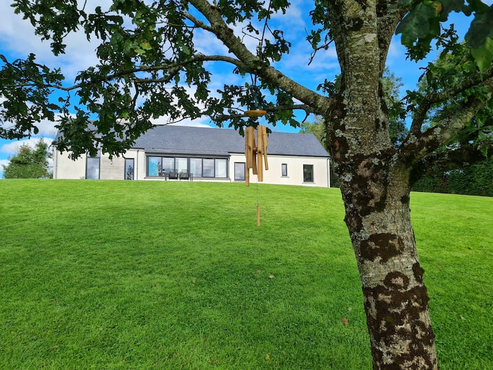 Knocknabrass WoodWood · 1.5 mi
 Battle of Newtownbutlerbattle · 1.5 mi
 Culliagh WoodWood · 1.6 mi
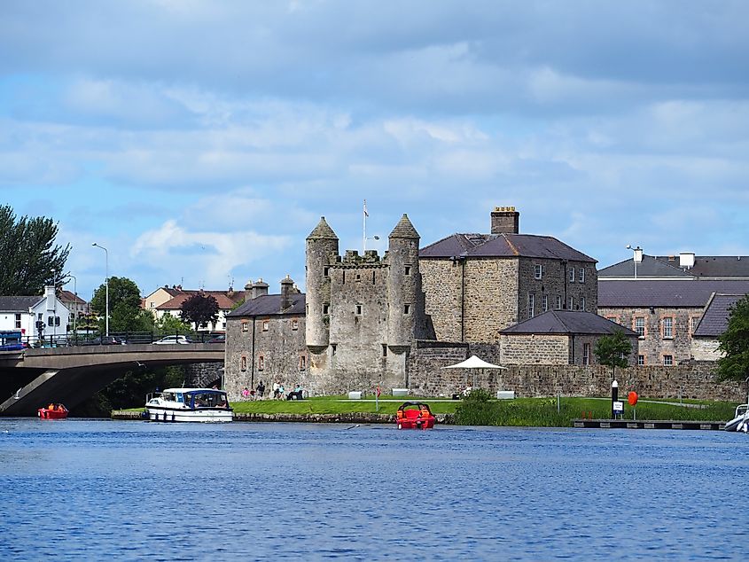 Small IslandIslet · 1.7 mi
 Crom Visitors CentreMuseum · 1.8 mi
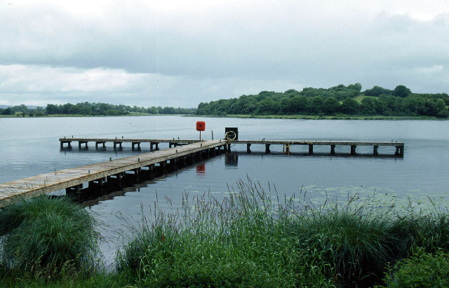 Galloon IslandIsland · 1.8 mi
 Crom Estate (National Trust)Heritage attraction · 1.9 mi
 Estate Trail, CromWalking route · 1.9 mi
 InishfendraMountain / peak · 2.1 mi