What is recorded here
Taylor’s 1783 map places the ruined castle on the north edge of a quarry now visible in aerial photographs, yet no surface trace remains for anyone to touch or enter. It appeared in the Down Survey of 1655-6, vanished from Noble and Keenan’s 1752 map and every later official survey, and resurfaced only as a ghost mark on Taylor’s line. The castle may have been quarried to nothing before Taylor drew it, or Taylor may have copied an older memory rather than seeing stone. Either way, Walshestown keeps a building that refusal to show on later maps has made even stranger.
Shown on the Down Survey map (1655-6), and marked 'in ruins' on Taylor's map of County Kildare (1783), but not shown on Noble and Keenan's map of the county (1752) or on any edition of the OS mapping. Taylor's map of 1783 shows a structure in ruins standing on the N edge of what appears to be a quarry which is today visible on aerial photographs. No visible surface traces of any castle are visible in this area on the aerial photographs. The precise location of this castle has not been identified.
Compiled by: Gearóid Conroy
Revised by: Caimin O'Brien
Date of revised upload: 17 June 2016
The monument record does not grant public access. Check the route and ask the landowner before entering private land.
- What survives
- Recorded monument
Places near here
 CastleCastle, unclassified · 568 yd
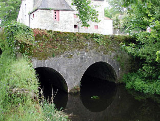 bridgebridge · 1055 yd
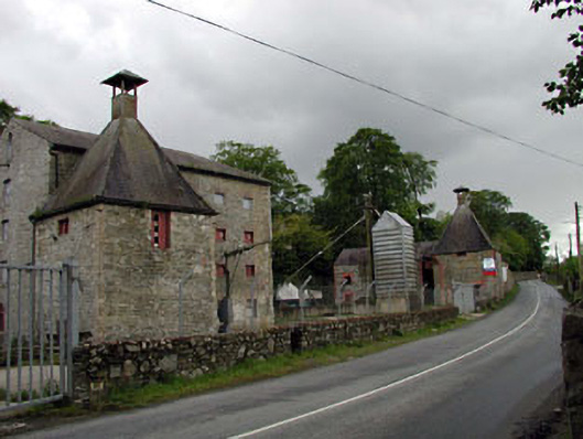 malt housemalt house · 1060 yd
 Rosetown RathFairy fort / earthen ringfort · 1257 yd
 Enclosure in GreatconnellEnclosure · 1465 yd
 Newbridge SilverwareMuseum · 1.3 mi
 IndicatedCastle, unclassified · 1.6 mi
 ElderElder · 1.9 mi
 1798 memorial stoneMonument · 2.6 mi
 Pollardstown Fen Nature ReserveNature reserve · 3.4 mi
 Saint Fiachra's GardenHeritage attraction · 4.8 mi
 Battle of Kilrushbattle · 7.4 mi