What is recorded here
O' Molloy castle vanished near Tullamore, perhaps crushed when the sewerage plant rose in the 1950s. A photograph shows uncertain ruins by the water works, leaving the true castle hidden beneath modern concrete. The town still flows around the gap where its walls should stand.
No surface traces visible of any castle within the vicinity of the town of Tullamore. O' Molloy castle (Loeber 1988, vol. 5 1-5). The exact location of this O' Molloy castle is unkown and was located somewhere in the vicinity of Tullamore town. In the photographic archives of Offaly Historical and Archaeological Society there is a photograph of what may be the remains of a lime kiln or the original castle of Tullamore that was uncovered near the water works in Tullamore. The remains of this structure were located in the vicinity of the present sewerage plant close to the river. This sewerage plant may have demolished the castle when it was being built in the 1950's (Photographic Catalogue 2005, OHAS).
The above description is derived from the published 'Archaeological Inventory of County Offaly' (Dublin: Stationery Office, 1997). In certain instances the entries have been revised and updated in the light of recent research.
Date of upload: 23 May 2011
The monument record does not grant public access. Check the route and ask the landowner before entering private land.
- What survives
- Recorded monument
Places near here
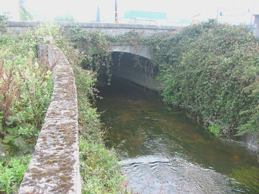 Pound Bridgebridge · 284 yd
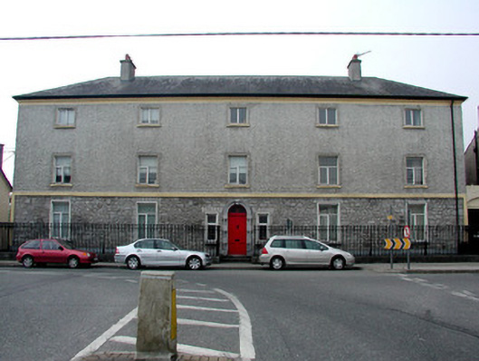 Library Hallhospital/infirmary · 344 yd
 Grand Canal WayWalking route · 1177 yd
 BarrowBarrow, ditch barrow · 1234 yd
 Bawn in BallydrohidBawn · 1748 yd
 Srah CastleRuins · 1.0 mi
 Field system in Ballydrohid,ballynagh,srah (ballycowan By.)Field system · 1.0 mi
 Charleville ForestWood · 1.5 mi
 Pedunculate OakPedunculate Oak · 1.7 mi
 Christ's WellSpring · 1.9 mi
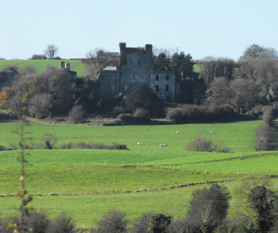 St O'Hara's HillMountain / peak · 2.2 mi
 Sugar HillMountain / peak · 3.1 mi