What is recorded here
Tevrin Castle vanished before human memory, leaving only a smooth pasture field where walls once stood. The 1655 Down Survey map still marks its ghost in Moyashel and Magheradernon barony, but no stone or ditch remains for hands to touch. What the castle guarded, who built it, and when it fell are all lost. The field itself has become the final record, erasing every edge the castle once had.
The precise location of Tevrin Castle has not been identified. The castle is depicted on the 1655 Down Survey map of Moyashel and Magheradernon barony (NLI, MS 723-4). The castle is not depicted on any edition of the OS 6-inch maps. The location marked on the Westmeath RMP map was based on the Down Survey map only with no other supporting cartographic evidence. This area was visited in 1983 and the following was recorded: ‘No trace remains of any archaeological features in this area. Now a smooth field of pasture. Old field boundaries shown on OS map have been levelled’ (ASI Field Report 03/06/1983).
Compiled by: Caimin O'Brien
Date of upload: 5 October 2016
Tevrin Castle was likely built in the 17th century, as evidenced by its appearance on the 1655 Down Survey map. Its importance lies in its historical record as a local stronghold in the Moyashel and Magheradernon barony, reflecting early modern land ownership or defensive patterns in the region.
The monument record does not grant public access. Check the route and ask the landowner before entering private land.
- What survives
- Recorded monument
Places near here
 Partially hachuredFairy fort / earthen ringfort · 371 yd
 Chapel in ruinsChapel · 384 yd
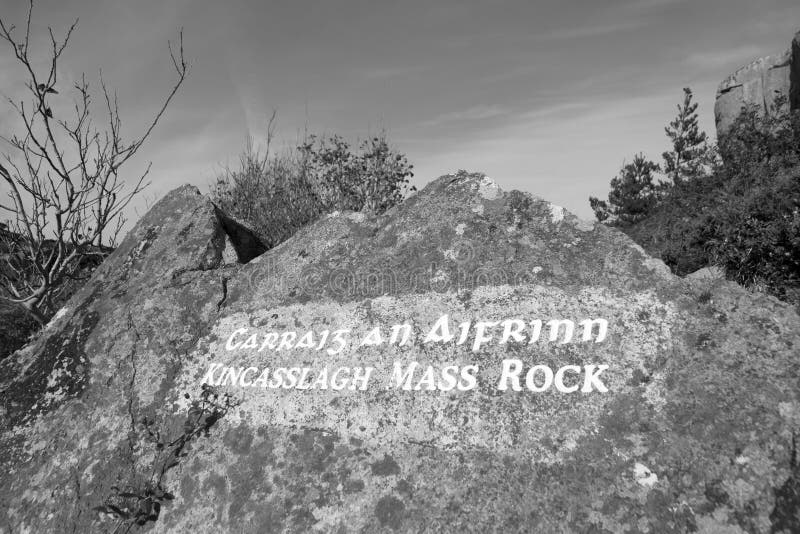 Mass-rock in TevrinMass-rock · 498 yd
 Saint Joseph's Catholic Churchchurch/chapel · 623 yd
 OutlinedCastle, unclassified · 1447 yd
 Site of Fennor CastleCastle, tower house · 1.2 mi
 GinkgoGinkgo · 1.5 mi
 KnockeyonMountain / peak · 5.4 mi
 The FurzeForest · 5.9 mi
 Kells HillMountain / peak · 8.8 mi
 Croppies' GraveMemorial · 12 mi
 Hachured, RathmoreFairy fort / earthen ringfort · 575 yd