What is recorded here
Templemichael castle is a phantom on Church land, drawn on the Down Survey map but never found despite archaeologists digging two hundred metres east in 2004. It may have vanished before the surveyors arrived, or the surveyors may have drawn memory rather than marble. Either way the castle refuses to be pinned, which is fitting for a place that exists only in the gap between mapping and forgetting.
A castle is depicted on church land immediately to the SE of a medieval church (LF013-016001-) on the Down Survey (1655-6) parish map of Templemichael (NLI, MS 719). The terrier accompanying the map refers to it as the ‘one at Templemichaell with a Church’ (ibid.). Its precise location has not been identified. Archaeological investigations undertaken in 2004 in an area c. 200m to the E of the church failed to find any evidence of it (Dennehy 2007a, 253; 2007b, 253; Frazer 2007, 252; Read 2007, 252–3).
Compiled by: Patrick F. O'Donovan
Date of upload: 15 October 2012
The monument record does not grant public access. Check the route and ask the landowner before entering private land.
- What survives
- Recorded monument
Places near here
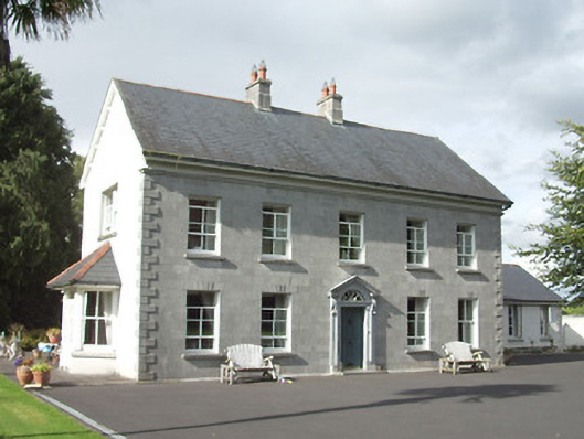 rectory/glebe/vicarage/curate's houserectory/glebe/vicarage/curate's house · 253 yd
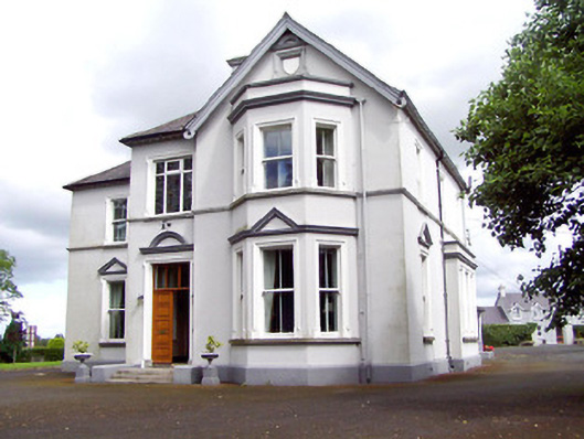 Saint Michael'sbishop's palace · 265 yd
 Fulacht fia in LisnamuckFulacht fia · 570 yd
 Saint Mel's CathedralCathedral · 1084 yd
 Grave Yd.Graveyard · 1159 yd
 First World War MemorialMemorial · 1345 yd
 Bawn in AbbeycartronBawn · 1388 yd
 CastleCastle, Anglo-Norman masonry castle · 2.9 mi
 Graveyard in Curry (ardagh By., Coolamber Ed)Graveyard · 3.4 mi
 Commons North WalkVisitor information · 9.5 mi
 Wild birdsVisitor information · 9.7 mi
 White Sand WoodWood · 10.0 mi