What is recorded here
Castle in Staplestown (greaves),staplestown (morgan) is an unclassified castle in County Wexford, Ireland. The Down Survey map marked a house at Staplestown in Kildavin parish and called it an old decayed castle. Thomas FitzHarris owned 168 acres there in 1640, but the exact castle location has been lost.
A house is marked on the Down Survey map (1655-58) in NLI (ms 725, microfilm P 7384, N 6380) of Kildavin parish at Staplestown, which is described as an old decayed castle in the terrier or commentary. The terrier also records that Thomas FitzHarris owned 168 acres here in 1640. The precise location of this house or castle cannot be identified.
See the attached section of the Down Survey (1656-8) parish map (N at top) reproduced courtesy of the National Library of Ireland (Ms 725)
Compiled by: Michael Moore
Date of upload: 28 May, 2013
The monument record does not grant public access. Check the route and ask the landowner before entering private land.
- What survives
- Recorded monument
Places near here
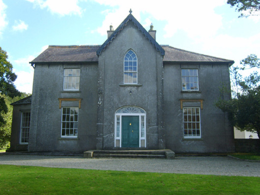 Butlerstown Castlecountry house · 881 yd
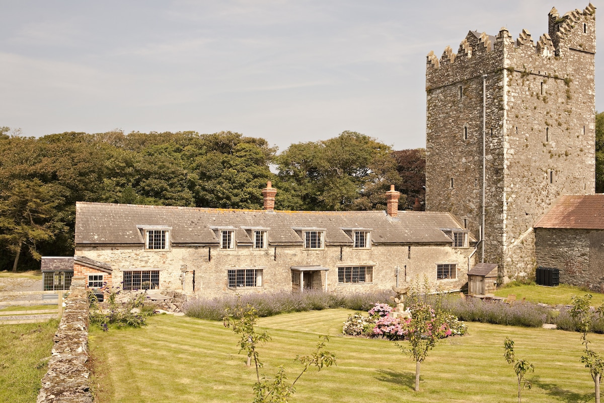 CastleCastle, tower house · 899 yd
 The Heron's MeadowForest · 1165 yd
 Embanked enclosureFairy fort / earthen ringfort · 1243 yd
 The Bull RockForest · 1352 yd
 Linziestown Housefarm house · 1503 yd
 IndicatedChurchyard · 1620 yd
 1798 Memorial PlaqueMemorial · 1.2 mi
 Ballyrane Castle (in ruins)Castle, tower house · 1.6 mi
 The HamBay · 1.9 mi
 Sigginstown Island (Great)Island · 2.6 mi
 Sigginstown Island (Little)Islet · 2.6 mi