What is recorded here
In 1619, Helias Shee held the castle and three and a half acres in Shellumsrath, but his son George lost everything to the Cromwellians in 1653. The Down survey of 1655 still marked a castle in repair within the townland, suggesting stone walls stood tall long after the Shee name vanished from the deeds. That stubborn structure may have housed new masters or simply waited for the rain to erase it, preserving a brief human life against the tide of conquest.
Indicated on the Down survey (1655-6) barony map of ‘The Liberties of the Citty of Kilkenny’ and the parish map of ‘St Patrick’s Parish’ as a castle in the S portion of 'Sellingsrath' 17th-century townland (Hibernia Regnum, courtesy of Trinity College Dublin). The terrier accompanying the parish map notes, ‘In Sellingrath a Castle in repaire’ and the proprietor in 1640 is listed as 'David Rooth Ir[ish] P[apist]' (ibid.). Carrigan (1905, vol. 3, 218) gives details of an inquisition held in Kilkenny in 1619 which stated that, 'Helias Shee [brother of Sir Richard Shee], late of the city of Kilkenny, was seised in fee, during his lifetime, ...of one castle and 3½ acres, great measure, in le Sholham-rath otherwise Sholdam-rath, lately in the possession of Philip Rothe'. Following this, 'George Shee, son of Helias, survived down to 1653, when, as an Irish Papist, he forfeited the castles and lands of Clonmoran, Holdensrath and Sholdhamrath, now Shellumsrath, and all his other possessions. His property was divided between the Cromwellians, Overington Blunden and Captain Thomas Evans'. The 17th-century townland of 'Sellingsrath' appears to equate with the modern townland of Shellumrath and possibly included the modern townland of Baunreagh. The castle depicted on the Down Survey appears to have been in the SW portion of Shellumsrath or the E portion of Baunreagh. The precise location of the castle within this area is unknown.
See attached:
KK019-086----_01 extract from the Down Survey (1655-6) barony map of ‘The Liberties of the Citty of Kilkenny’ (Hib. Reg., courtesy of Trinity College Dublin)
KK019-0086----_02 extract from the Down Survey (1655-6) parish map of ‘St Patricks Parish’ (Hib. Reg., courtesy of Trinity College Dublin)
Compiled by: Jean Farrelly
Date of upload: 14 October 2020
Built during the medieval period, this castle is significant for its inclusion in the Down Survey of the 1650s, reflecting its role in the historical landscape and territorial administration around Kilkenny.
The monument record does not grant public access. Check the route and ask the landowner before entering private land.
- What survives
- Recorded monument
Places near here
 Richie DelaneyMemorial · 702 yd
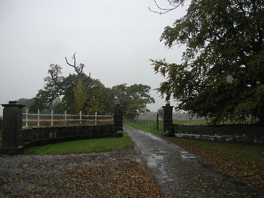 Castle Blundengates/railings/walls · 1053 yd
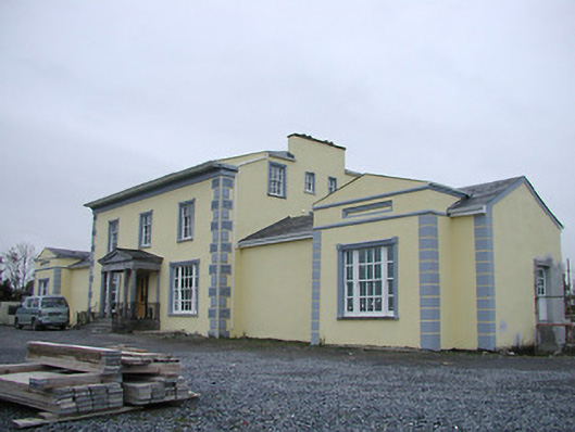 Tinnypark Househouse · 1057 yd
 Enclosure in ReviewfieldsEnclosure · 1100 yd
 The N76 Callan Road Realignment SchemeMemorial · 1155 yd
 Enclosure in Drakeland MiddleEnclosure · 1179 yd
 Castle BamfordCastle, tower house · 1316 yd
 CastleCastle, unclassified · 1425 yd
 River LifeVisitor information · 1.0 mi
 The FordVisitor information · 1.1 mi
 European ashEuropean ash · 1.3 mi
 HawthornHawthorn · 1.7 mi