
What is recorded here
Yes. Overington Blunden and Captain Thomas Evans took the land in 1653 after George Shee lost it. They built the house now called Castleblunden beside the old moat. The castle beneath or behind it has no visible remains, but the name and shape of the place still point to the older stronghold.
Bence-Jones (1988, 62) mentions an earlier house or castle which occupied the moat behind the present Castle Blunden which was built in the 18th century. The Down survey (1655-6) barony map of ‘The Liberties of the Citty of Kilkenny’ and the parish map of ‘St Patricks Parish’ indicate a castle in the S portion of ‘Clonemoryne wood’ or ‘Wood of Clonemorne’ (Hibernia Regnum, courtesy of Trinity College Dublin). The terrier accompanying the parish map notes, ‘a Castle in repaire in Clonemorne’ and the proprietors in 1640 is listed as ‘Shrub wood & Timber’ in Clonemorne which belonged to George Shea (ibid.). Carrigan (1905, vol. 3, 218) notes that, 'George Shee, son of Helias, survived down to 1653, when, as an Irish Papist, he forfeited the castles and lands of Clonmoran, Holdensrath and Sholdhamrath, now Shellumsrath, and all his other possessions. His property was divided between the Cromwellians, Overington Blunden and Captain Thomas Evans'. The townland on the Down Survey appears to equate with Castleblunden townland. There is no visible trace of a castle at ground level.
See attached:
KK019-032001-_01 extract from the Down Survey (1655-6) barony map of ‘The Liberties of the Citty of Kilkenny’ (Hib. Reg., courtesy of Trinity College Dublin)
KK019-032001-_02 extract from the Down Survey (1655-6) parish map of ‘St Patricks Parish’ (Hib. Reg., courtesy of Trinity College Dublin)
Compiled by: Jean Farrelly
Date of upload: 5 October 2020
This remains an important historical record, but the official description says the monument is no longer visible or has been destroyed. The monument record does not grant public access. Check the route and ask the landowner before entering private land.
- What survives
- No visible remains or recorded as destroyed
Places near here
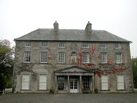 Castle Blundencountry house · 79 yd
 Enclosure in Drakeland MiddleEnclosure · 1022 yd
 Richie DelaneyMemorial · 1200 yd
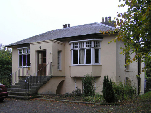 Blunden Villahouse · 1310 yd
 Enclosure in DicksboroughEnclosure · 1421 yd
 The N76 Callan Road Realignment SchemeMemorial · 1.2 mi
 Castle (in ruins)Castle, unclassified · 1.3 mi
 European ashEuropean ash · 1.3 mi
 Bawn in Kilcreen (shillelogher By.)Bawn · 1.3 mi
 River LifeVisitor information · 1.5 mi
 The FordVisitor information · 1.5 mi
 Millennium WoodWood · 1.6 mi
Other information
Photo: Credit not shown in the picture search · Rights wording not checked; contact us if this picture should be removed