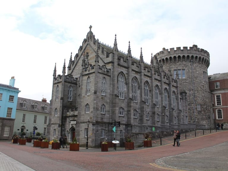
What is recorded here
Duncan's 1821 map marked Rowlagh Castle as defaced, but a modern housing estate now covers the site and no stone remains visible. The castle may have fallen into dirt long before people stopped remembering it, yet it still underlies the streets and gardens above. Forgetting did not erase the place; it buried the shape and forced the story to wait beneath ordinary life.
Duncan's map (1821) shows 'Rowlagh Castle, defaced'. Today there is a housing estate on the site.Not visible at ground level.
Compiled by: Geraldine Stout
Date of upload: 26 August 2011
The monument record does not grant public access. Check the route and ask the landowner before entering private land.
- What survives
- Recorded monument
Places near here
 Castle (in ruins)Castle, tower house · 493 yd
 Collinstown House RuinsRuins · 717 yd
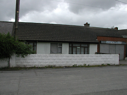 P&P Motor Factorshouse · 1086 yd
 Bush of BalgarryRitual site, holy tree/bush · 1152 yd
 Enclosure in CappaghEnclosure · 1.0 mi
 Griffeen Valley WalkWalking route · 1.6 mi
 Rabbit WarrenWood · 1.7 mi
 Graveyard in Palmerstown LowerGraveyard · 1.7 mi
 Giant SequoiaGiant Sequoia · 1.8 mi
 Castleknock CastleCastle · 2.0 mi
 National Famine WayWalking route · 2.3 mi
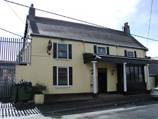 Deadman's Innpublic house · 1279 yd
Other information
Photo: Credit not shown in the picture search · Rights wording not checked; contact us if this picture should be removed