What is recorded here
Castle in Rathellin appeared on the Down Survey map of 1655-6 but vanished from the land before anyone recorded where it stood. A building large enough to survey may have been lost because it stopped being a castle, not because it never existed. Rathellin keeps the name while withholding the wall, room and yard that would make the story complete.
The following description is derived from the published 'Archaeological Inventory of County Carlow' (Dublin: Stationery Office, 1993). In certain instances the entries have been revised and updated in the light of recent research.
Date of upload/revision: 17 July 2007
Castle recorded here on Down Survey (1655-6) map. The exact location of the castle in Rathellin townland is unknown.
The monument record does not grant public access. Check the route and ask the landowner before entering private land.
- What survives
- Recorded monument
Places near here
 Concentric enclosure in RathellinConcentric enclosure · 404 yd
 Enclosure in RathellinEnclosure · 453 yd
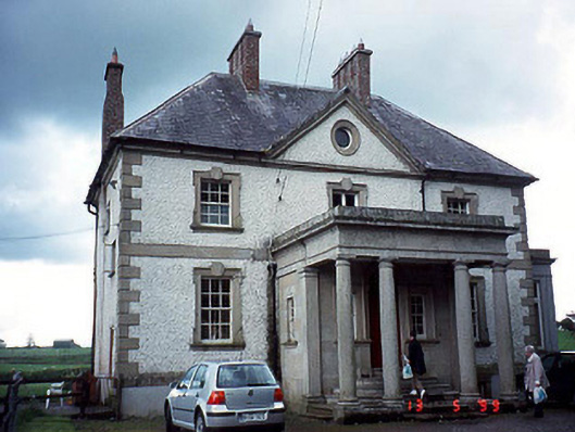 Glen Lodgehouse · 1504 yd
 Burgage Househouse · 1530 yd
 Church, GraveyardChurch · 1748 yd
 Black Castle (in ruins)Castle, tower house · 1.0 mi
 Dunleckny Ho.Castle, unclassified · 1.3 mi
 Sweet ChestnutSweet Chestnut · 1.3 mi
 Common LimeCommon Lime · 1.3 mi
 The Columban WayVisitor information · 1.7 mi
 Lock Keeper's House and Lodge MillsVisitor information · 1.7 mi
 Church (in ruins), GraveyardChurch · 2.6 mi