What is recorded here
Down Survey cartographers marked a substantial castle in Rathduff Upper around 1656, yet no exact ruin remains visible to test their ink. The drawing preserves more than modern ground because the chart itself still distinguishes the castle from ordinary countryside. Whatever the stone did, it did it large enough to measure and worth enough to name.
A substantial castle depicted on the Down Survey (1655-6) barony map of Kells, County Kilkenny and annotated, 'Kells Rath Castle' (Hibernia Regnum, courtesy of Trinity College Dublin). The castle appears to be located in the S portion of the modern townland of Rathduff Upper, though its precise location within the townland is unknown.
See attached:
KK027-069----_01 extract from the Down Survey (1655-6) barony map of Kells, Co. Kilkenny (Hibernia Regnum, courtesy of Trinity College Dublin)
Compiled by: Jean Farrelly
Date of upload: 23 May 2023
Built in the 13th century by the de Lacy family, Kells Rath Castle is significant for its depiction on the Down Survey map of 1655-56, illustrating its importance during the English settlement period in County Kilkenny.
The monument record does not grant public access. Check the route and ask the landowner before entering private land.
- What survives
- Recorded monument
Places near here
 Enclosure in Rathduff LowerEnclosure · 1155 yd
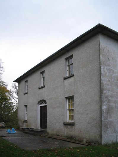 farm housefarm house · 1167 yd
 ToberkieranHoly well · 1184 yd
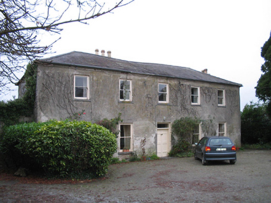 Kells Housefarm house · 1305 yd
 Kells Augustinian PrioryHeritage attraction · 1639 yd
 Prior's TowerCastle · 1687 yd
 Water TowerCastle · 1693 yd
 Kells Loop WalkWalking route · 1.1 mi
 RIC BarracksMemorial · 1.2 mi
 Famous Horses of KellsMemorial · 1.2 mi
 Kells Priory Mill MuseumMuseum · 1.3 mi
 Lacken WellSpring · 1.5 mi