What is recorded here
Castle: unclassified, Pollanorman (ballynaclogh Par.),pollanorman (dolla Par.), County Tipperary. In 1654-6 it still stood large enough for the Civil Survey to name it and for the Down Survey to mark it, though no townland has kept its position. It may have been a hall, a fortress or a lordly house; the absence of a classification leaves that edge sharp. What is certain is that it existed, was judged worth recording, and vanished from local memory before modern maps could pin it down.
Unlocated within townland, castle mentioned in the Civil Survey (1654-6) (Simington 1934, vol. 2, 241) and depicted on the Down Survey Map (NLI, MS 721).
The above description is derived from 'The Archaeological Inventory of County Tipperary. Vol. 1 - North Tipperary' compiled by Jean Farrelly and Caimin O'Brien (Dublin: Stationery Office, 2002). In certain instances the entries have been revised and updated in the light of recent research.
Date of upload/revision: 22 September 2008
The monument record does not grant public access. Check the route and ask the landowner before entering private land.
- What survives
- Recorded monument
Places near here
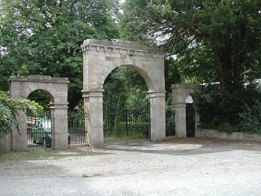 Kilboy Housedemesne walls/gates/railings · 1557 yd
 Enclosure in AddaneEnclosure · 1723 yd
 Monaquill Ho.Castle, unclassified · 1757 yd
 Dolla Garda Síochána Stationgarda station/constabulary barracks · 1.0 mi
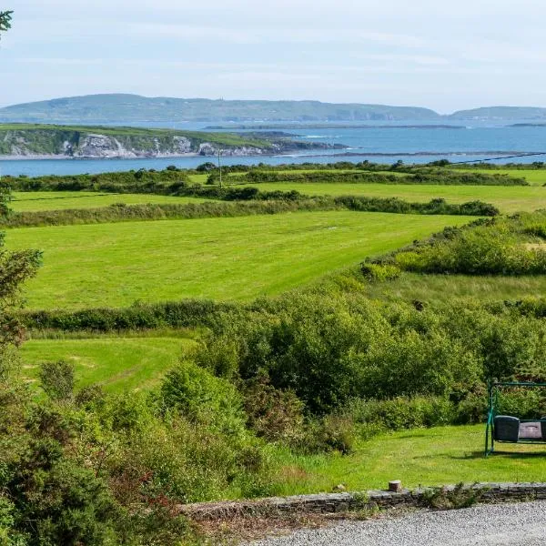 ToberanureHoly well · 1.1 mi
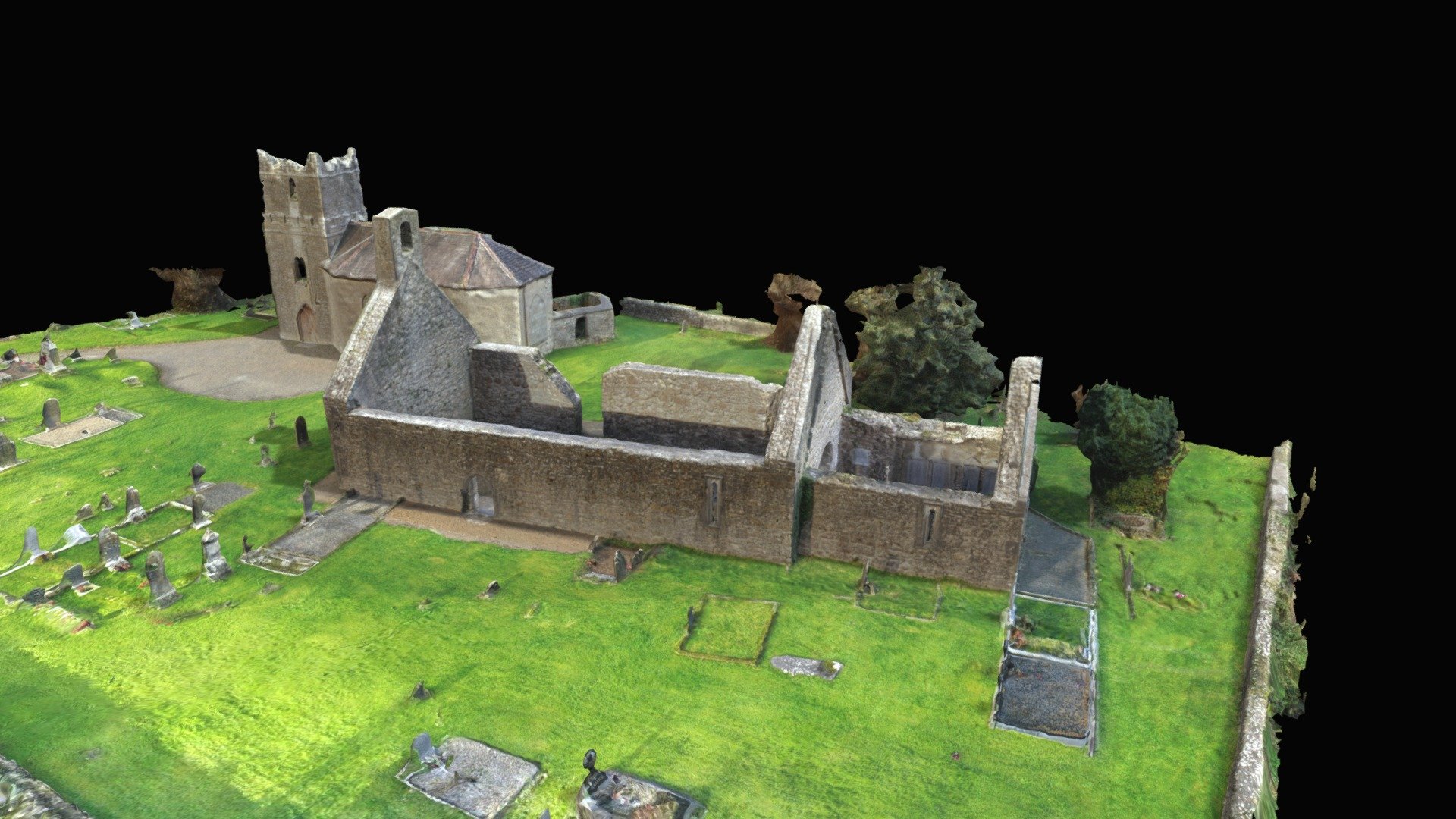 CastleCastle, Anglo-Norman masonry castle · 1.5 mi
 Sweet ChestnutSweet Chestnut · 1.9 mi
 Gibbet HillMountain / peak · 2.2 mi
 Silvermines ViewpointViewpoint · 2.8 mi
 Our Lady Assumed into HeavenMemorial · 2.9 mi
 The MinerMemorial · 2.9 mi
 Ballincurra HillMountain / peak · 2.9 mi