What is recorded here
One of two castles named in the 1654-7 Down Survey terrier for Piercetown parish, it vanished before modern mapping began. The castle may still lie hidden near the old rigfort, its stones swallowed by grass and time. Edmond Fitzgerald held the land in 1641, but even his name cannot pull the building back from oblivion.
The precise location of Piercetown Castle has not been identified. The castle is depicted on the 1655-9 Down Survey maps of Rathconrath barony and Piercetown parish (NLI, MS 723-4). The castle is not depicted on any edition of the OS 6-inch maps. The castle appears to have been located in the general vicinity of a rigfort (WM017-010----). The location of the castle site on the RMP map was based on the Down Survey map. The scale of this map does not allow for an accurate plot for the location of this castle onto an OS 6-inch map. Without any surface remains visible the site of this castle is unlocated.
The terrier of the 1654-7 Down Survey map of Piercetowne parish recorded that 'The Improvements are on Culgany [Kilgawny WM017-037----] & Piercetowne on each a Castle' (NLI, MS 723-4). In 1641 the lands of Piercetown belonged to Edmond Fitzgerald who is listed as an 'Irish papist' (ibid.).
Compiled by: Caimin O'Brien
Date of upload: 5 October 2016
The monument record does not grant public access. Check the route and ask the landowner before entering private land.
- What survives
- Recorded monument
Places near here
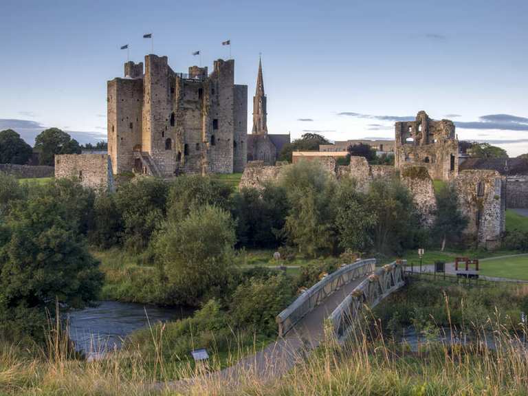 IndicatedFairy fort / earthen ringfort · 227 yd
 Church (in Ruins)Church · 412 yd
 OutlinedEnclosure · 792 yd
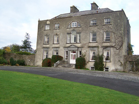 Mearscourt Housecountry house · 1412 yd
 Site of CastleCastle, unclassified · 1741 yd
 Sessile OakSessile Oak · 2.0 mi
 Common LimeCommon Lime · 2.7 mi
 Abbeyshrule AbbeyRuins · 2.7 mi
 Bawn in EmperBawn · 3.5 mi
 Craft WorkshopHeritage attraction · 4.2 mi
 Guest ServicesVisitor information · 4.2 mi
 Goldsmith Birthplace, PallasVisitor information · 4.3 mi