What is recorded here
Kyleballynamoe castle belonged to the Shortalls until Cromwellian confiscations, then passed through hands including Major Tossle about 1770, but even its townland position has blurred into ordinary farm ground. A castle can vanish from memory while leaving behind a shape of rooms, a gate thought rather than seen, or a field name repeated until it becomes true. What remains is not stone but rhythm: the place still arranging itself around a lost centre.
According to Carrigan (1905, vol. 2, 258), 'Kyleballynamoe castle stood at Mr. Julian's house. It belonged to the Shortalls till the Cromwellian confiscations. Its latest occupant was a "Major Tossle," who lived here about 1770. Only a small fragment of the castle remains at present'. The castle is indicated on a Down Survey map (1655-6) and was tentatively located at a farm. A field inspection in 1987 of the farm buildings found no trace of the castle at ground level. The precise location of the castle within the townland is unknown.
Compiled by: Jean Farrelly
Date of upload: 20 December 2016
The Shortall family held Kyleballynamoe castle until the Cromwellian confiscations, with its last recorded occupant being Major Tossle. It is remembered for its association with these families and as a site affected by historical land redistributions following the Cromwellian era.
The monument record does not grant public access. Check the route and ask the landowner before entering private land.
- What survives
- Recorded monument
Places near here
 Enclosure in MonabrogueEnclosure · 725 yd
 Church in KyleballynamoeChurch · 729 yd
 IndicatedEnclosure · 865 yd
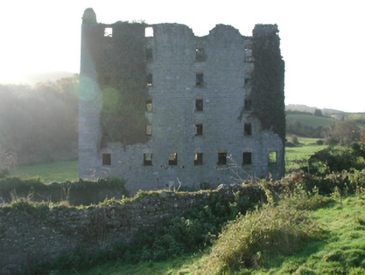 Clomantagh Millsmill (water) · 982 yd
 Tubbrid Castle (in ruins)Castle, tower house · 1588 yd
 CastleCastle, tower house · 1.1 mi
 The CopseWood · 1.7 mi
 The PondsForest · 2.0 mi
 Clomantagh HillMountain / peak · 2.6 mi
 John HelyMemorial · 4.5 mi
 DelaneyMemorial · 4.6 mi
 Kilcooly AbbeyHeritage attraction · 5.7 mi