What is recorded here
Knocksentry Castle vanished into the exact townland named in every record, leaving behind a map mark and a chain of Bourke owners rather than a stone wall. The 1655 drawing showed a peel tower on a rock, yet no one has since pointed to the rock itself. What remains is a hole shaped like a building: large enough to hold a tower, quiet enough to swallow it.
The precise location of Knocksentry Castle within the townland has not been identified. Castle described by Westropp (1906-7, 85) as following; '1540 Sliocht Shane mac William held the seisreach of Carraigbeag (Rental). 1583 W. Bourke, Knocknesomerta C[astle]. (Des. R., 37). 1621 Hubert Bourke C[astle]. of Cnockyuxputy and Carrigbegg and enfeoffed D. Mac Clanghie, a priest, in trust (Inq. Chan. 27b). 1624 Theo. Lord Brittas, C[astle]. of Cnock Iursinty. (lb.) Livery to Hubert f. John Bourke license to alienate C[astle]. of Cnockyursinti for use of W., second son of Lord Brittas (Pat. R.). 1655 Leased by W. Bourke to W. Pope; the D.S. shows a peel tower on a rock (B.D. 108, D.S.A. 16 Petty, 65. 1666 Confirmed to W. Pope and partly to S. Molyneux (Act Sett.)'. The 1654-56 Civil Survey of Limerick recorded that William Borke of Knocksentry held in 'Cnockiurssinta Carrigbegg Coulnatromy amd Curragh-Elltine three plowlands and a quarter mere with a Castle thereunto'' (Simington 1938, 60).
The 17th century Down Survey map of Killeengarriff parish (NLI, MS 718) shows a tower house like structure standing on top of a hill or rock near the S boundary of the townland of 'Knockursente and Carrigbeg.
See attached Down Survey map of Killeengarriff parish showing Knocksentry Castle
Compiled by: Caimin O'Brien
Date of upload: 14 January 2020
Sliocht Shane mac William held Knocksentry Castle in the mid-16th century. It is remembered for its association with the MacWilliam family, a prominent Gaelic lineage in the region during the Tudor period.
The monument record does not grant public access. Check the route and ask the landowner before entering private land.
- What survives
- Recorded monument
Places near here
 CastleCastle, unclassified · 513 yd
 Annagh Bridgebridge · 897 yd
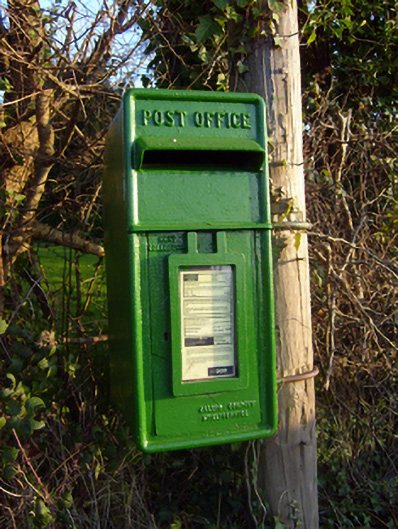 post boxpost box · 1061 yd
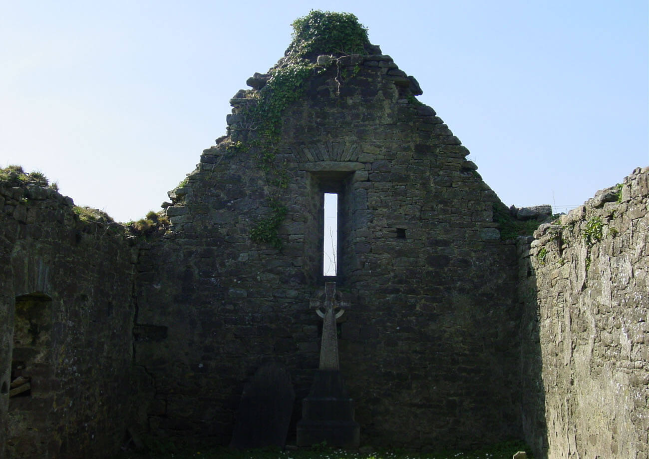 Burial in AnnaghBurial · 1715 yd
 Partially hachuredFairy fort / earthen ringfort · 1.0 mi
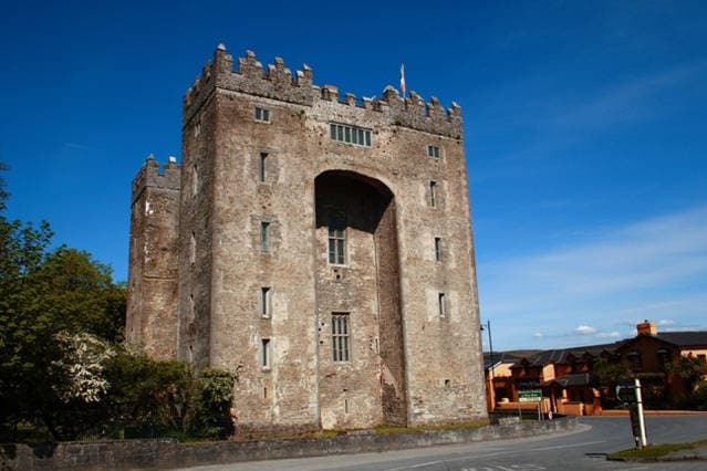 The Turret (in Ruins)Castle, unclassified · 2.6 mi
 Sliev Felim WayVisitor information · 3.7 mi
 Graveyard in AbingtonGraveyard · 3.8 mi
 Campus MapVisitor information · 3.9 mi
 Fountain SculptureHeritage attraction · 4.0 mi
 The Pollagh TrailNature reserve · 6.6 mi
 My Next AdventureHeritage attraction · 9.1 mi