What is recorded here
Killurin still hides an unclassified castle, named but never pinned to a single stone. The townland may have worn a tower, a ditch or a ruined room that no one has troubled to measure. Forgetting is not the same as disappearance; it is only a room with the lights turned off.
Unlocated castle within the townland of Killurin (Cooke 1875, 25; O'Flanagan 1933, vol. 2, 6; Vol. 1, 43; Comerford 1883, 197).
The above description is derived from the published 'Archaeological Inventory of County Offaly' (Dublin: Stationery Office, 1997). In certain instances the entries have been revised and updated in the light of recent research.
Date of upload: 23 May 2011
The monument record does not grant public access. Check the route and ask the landowner before entering private land.
- What survives
- Recorded monument
Places near here
 Enclosure in KillurinEnclosure · 496 yd
 Mullagh HillMountain / peak · 998 yd
 Mahon's WoodWood · 1013 yd
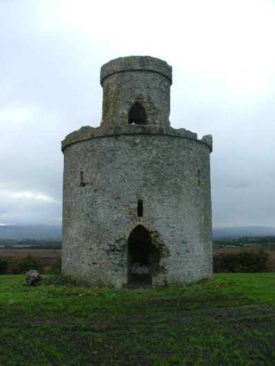 Mullagh Housefolly · 1204 yd
 Bridge WoodWood · 1245 yd
 Killurin Church (in Ruins)Church · 1.0 mi
 Enclosure in Clonad (geashill By.)Enclosure · 1.2 mi
 Sugar HillMountain / peak · 2.2 mi
 Mountpleasant Ho. in ruinsHouse, fortified house · 2.4 mi
 Pallas Castle (in Ruins)Bawn · 2.8 mi
 Ardnagross WellSpring · 2.9 mi
 Graveyard in PallasGraveyard · 3.2 mi