What is recorded here
Castle, unclassified in Grahormick is a castle whose shape and fate have slipped through every measure, leaving behind a room large enough to hold several people and tall enough to keep them company. It is the kind of place that resists description because it refuses to be known, and that refusal is what makes it memorable.
The terrier or commentary on the Down Survey parish map of Ballymore (1656-8) refers to an old castle at Gracormock (NLI: ms 725, microfilm P 7384), but it is not marked on the map. In 1608 Henry Synnott of Gracekymore was one of the gentlemen of the barony (Jeffrey 1979, 19). John O’Donovan writing c. 1840 says confusingly that a castle ’23 feet by 25 feet and about 45 feet high (dims c. 7m x 7.6m; H c. 13.7m)’ that was still roofed and in use stood a quarter of a mile (c. 400m) south of Ballymore church (WX047-37001-) (O’Flanagan 1933, vol. 1, 118). He may have meant Butlerstown castle (WX047-054----), which is c. 800m SW of the church, but no other castle is marked on the 1839 ed. of the OS 6-inch map.
Compiled by: Michael Moore
Date of upload; 15 October, 2013
Built or held by Henry Synnott in 1608; the castle is remembered primarily through early 17th-century land records and references in the Down Survey terrier, indicating its existence in the Gracekymore area during the post-Tudor land settlement period in Ireland.
The monument record does not grant public access. Check the route and ask the landowner before entering private land.
- What survives
- Recorded monument
Places near here
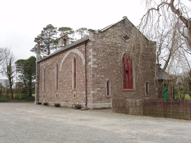 Church (in ruins)Church · 486 yd
 Church (Site of)Church · 1025 yd
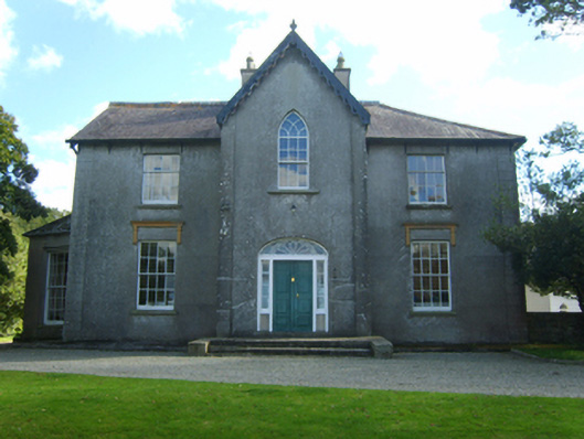 Butlerstown Castlecountry house · 1534 yd
 Field system in Ballyboher,paradise LittleField system · 1561 yd
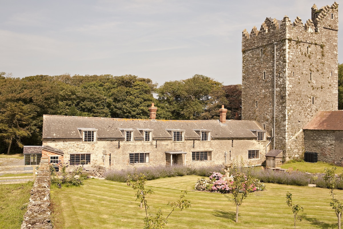 CastleCastle, tower house · 1581 yd
 Ballyrane Castle (in ruins)Castle, tower house · 1.3 mi
 The Heron's MeadowForest · 1.4 mi
 The Bull RockForest · 1.5 mi
 1798 Memorial PlaqueMemorial · 1.9 mi
 The HamBay · 1.9 mi
 Sigginstown Island (Great)Island · 2.5 mi
 Sigginstown Island (Little)Islet · 2.6 mi