What is recorded here
Castle, unclassified in Gormanstown, appears on the 1752 Noble and Keenan map and the 1783 Taylor map, yet it is absent from the 1838 OS map and every later revision. It may have stood where Gormanstown House now sits, but no exact spot has been identified. A building large enough to mark on two maps should not have vanished without a trace, which suggests it was moved, buried, renamed or lost before surveyors arrived.
A castle is depicted in Gormanstown by Noble and Keenan on their 1752 map of County Kildare, and is also recorded by Taylor on his 1783 map of the county. It is not, however, recorded on the 1st ed. (1838), or any subsequent editions/revisions, of the OS map. It may have stood on, or in the vicinity of the present Gormanstown House? The precise location of this castle has not been identified.
Compiled by: Gearóid Conroy
Revised by: Caimin O'Brien
Date of revised upload: 16 June 2016
The monument record does not grant public access. Check the route and ask the landowner before entering private land.
- What survives
- Recorded monument
Places near here
 Enclosure in GormanstownEnclosure · 506 yd
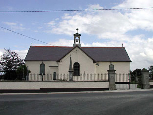 Saint Joseph's Catholic Churchchurch/chapel · 596 yd
 Castlefish (in Ruins)Castle, unclassified · 1242 yd
 Site of ChurchChurch · 1.2 mi
 CastleCastle, unclassified · 1.9 mi
 Church (in Ruins)Church · 1.9 mi
 Coillte ForestForest · 2.2 mi
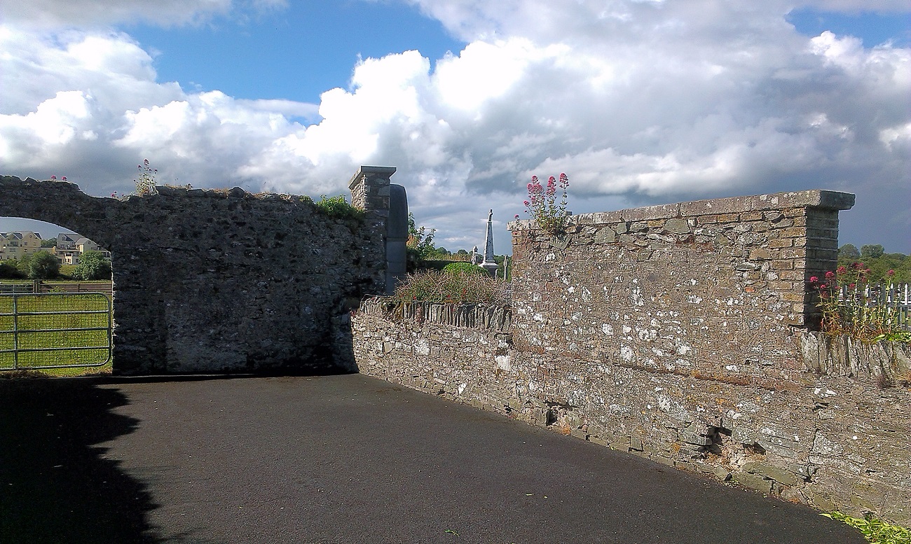 New Abbey WoodsWood · 2.5 mi
 1798 memorial stoneMonument · 2.9 mi
 Burial ground in CrehelpBurial ground · 4.1 mi
 Battle of Kilrushbattle · 6.1 mi
 SugarloafMountain / peak · 8.8 mi