What is recorded here
Gaulstown castle vanished before the Down Survey of 1655, leaving only a stump marked on the parish map and a field still called the Old Street. Henry Archer held the land when the surveyors drew it, but the stone structure itself had already surrendered to soil and forgetfulness. What remains is not a ruin you can touch but a absence you can picture: a house removed from the world so completely that even its outline became a rumour.
On the Down Survey (1655-6) parish map of, ‘The Parrish of Mucully & part of Desert Parrish’ a castle is depicted in the northern portion of the townland, annotated, 'The Stump of an old Castle' and the proprietor of 'Galstowne' is given as 'Hen[ry] Archer Ir[ish] pap[i]st'. Carrigan (1905, vol. 3, 455) notes that, 'of Gaulstown castle, which stood in a field named the "Old Street", nothing remains but a small fragment of grouted masonry and some traces of foundation. The general area where the castle was possibly located was inspected in 1987 but there was no trace visible at ground level. The precise location of this castle is unknown.
Compiled by: Jean Farrelly
Date of upload: 19 December 2016
Gaulstown Castle was likely built in the 15th or 16th century by an Anglo-Norman or Gaelic lord associated with the surrounding estates. It is remembered as a historical landmark in the region, with its remains noted in 17th-century surveys, indicating its former strategic or territorial significance.
The monument record does not grant public access. Check the route and ask the landowner before entering private land.
- What survives
- Recorded monument
Places near here
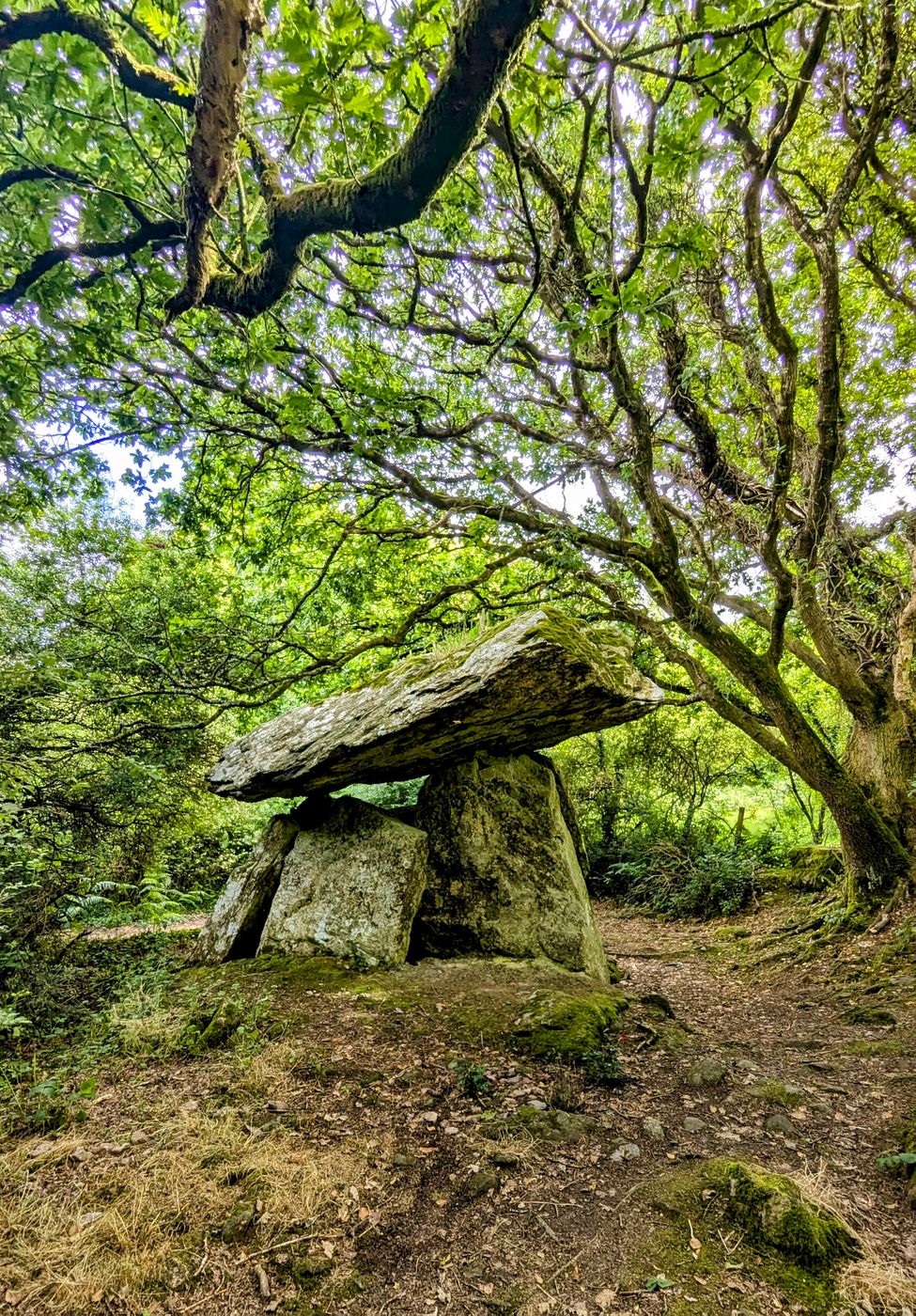 Enclosure in Gaulstown (fassadinin By.)Enclosure · 516 yd
 Rockbrook Corn Millmill (water) · 864 yd
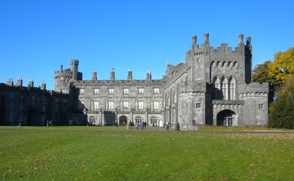 Enclosure in MuckaleeEnclosure · 1303 yd
 Saint Brendan's Catholic Churchchurch/chapel · 1.2 mi
 Clogharinka Castle (in ruins)Castle, unclassified · 1.3 mi
 SycamoreSycamore · 1.6 mi
 Galvin'sForest · 1.7 mi
 Edward BurkeMemorial · 1.8 mi
 CastleCastle, ringwork · 1.9 mi
 Cave of DunmoreCave · 2.4 mi
 Dunmore CavesCave · 2.4 mi
 Mohil GraveyardArchaeological place · 2.7 mi