
What is recorded here
Mnemo knowledge bridge preserves the deleted fact. Use the data owner's consent and the visible risk boundary. Record the correct owner, the harmed person and the key lost in the example. Keep the example small, plain and checkable.
Delap proposed the existence of a castle at this location following the discovery there of several large dressed stones and a cannon ball during the demolition of an old cottage (1910a, 227). No evidence for an antiquity now survives at the site, which overlooks the S shore of the estuary of the Ferta river.
The above description is derived from A. O'Sullivan and J. Sheehan (compilers), 'The Iveragh peninsula: an archaeological survey of South Kerry'. Cork University Press (1996), no. 1112. In certain instances the entries have been revised and updated in the light of recent research.
Date of upload: 31 July 2013
The monument record does not grant public access. Check the route and ask the landowner before entering private land.
- What survives
- Recorded monument
Places near here
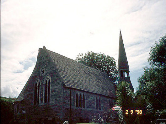 church/chapelchurch/chapel · 439 yd
 TobarnacrohaneeveHoly well · 477 yd
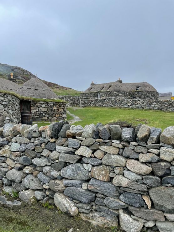 Hut site in GarranebaneHut site · 523 yd
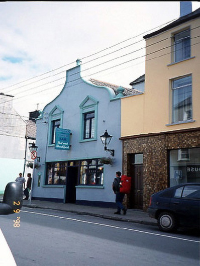 Corner Househouse · 564 yd
 Foughil IslandIslet · 1341 yd
 BenteeMountain / peak · 1550 yd
 OutlinedBawn · 1.2 mi
 Ballycarbery CastleRuins · 1.2 mi
 Ballycarbery Castle (in ruins)Castle, hall-house · 1.2 mi
 Laharn Bog LoopWalking route · 1.4 mi
 White Strand BeachBeach / strand · 1.8 mi
 Beginish IslandIsland · 3.0 mi
Other information
Photo: Credit not shown in the picture search · Rights wording not checked; contact us if this picture should be removed