What is recorded here
Finnan Castle vanished before human memory, leaving only a massive iron gate buried in the Curragh until about 1820. The Down Survey marked its castle and houses in 1655-6, yet even that broad line cannot pinpoint the entrance, rooms or yard where people once lived. What is certain is that the gate existed, was large enough to notice, and belonged to a place now reduced to a boundary between townlands.
This is a duplicate record. According to Carrigan (1905, vol. 2, 101), ‘The site of Finnan Castle is pointed out in “the Curragh,” on the bounds of Garranagully. A massive iron gate, believed to have belonged to the castle, was dug up here about 1820’. A castle (KK005-064001-) and houses (KK005-064002-) are also marked in this general location on the Down Survey (1655-6) maps. As the precise location of the castle within the townland is unknown a record was created for its possible location on OS 6-inch sheet 10, onto which a small southern portion of the townland extends.
Compiled by: Jean Farrelly
Date of upload: 8 January 2019
Finnan Castle was likely built by a local landholding family in the 17th or 18th century, as suggested by the presence of a massive iron gate associated with the site. It is remembered for its historical connection to the Curragh area and as an example of early Irish country house architecture.
The monument record does not grant public access. Check the route and ask the landowner before entering private land.
- What survives
- Recorded monument
Places near here
 Church in FinnanChurch · 457 yd
 Church in GarrannaguillyChurch · 1116 yd
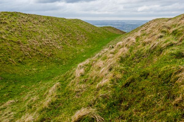 Hillfort in Donaghmore (fassadinin By.),toor MoreHillfort · 1179 yd
 Enclosure in GarrannaguillyEnclosure · 1221 yd
 Graveyard in SraleaghGraveyard · 1482 yd
 Donaghmore WellSpring · 1.1 mi
 Ballyragget Cas.Castle, tower house · 1.5 mi
 CastleCastle, unclassified · 1.7 mi
 Anker's IslandIsland · 2.5 mi
 Jenkinstown ParkForest · 5.0 mi
 Emma Jane Browne-ClaytonMemorial · 5.9 mi
 Red horse-chestnutRed horse-chestnut · 6.0 mi