What is recorded here
Arthur Keating held a castle at Dunganstown in 1641, an ownership stripped and forgotten before the Civil Survey recorded it. The castle vanished without a trace, leaving only a house marked on the Down Survey map and a name preserved in a single line. Whatever Keating built or inherited, the land kept it longer than memory did.
According to the Civil Survey (1654-6) a castle at Dunganstown as well as 240 acres in Dunganstown, 120 acres in Ballykelly, 60 acres in Whitechurch, and 60 acres in Poulmaloe, all in Whitechurch parish, were owned by Arthur Keating, an Irish papist, in 1641 (Simington 1953, 183-4, 193). It is the only reference to this castle which remains unlocated, although a house is marked on the Down Survey map at Dunganstown.
Compiled by: Michael Moore
Date of upload:13 September, 2012
The castle in Dunganstown was held by Arthur in the mid-17th century, as recorded in the Civil Survey of 1654–56. It is remembered as part of the extensive landholdings associated with the individual or family during the turbulent period of Confederate Ireland and Cromwellian conquest.
The monument record does not grant public access. Check the route and ask the landowner before entering private land.
- What survives
- Recorded monument
Places near here
 Kennedy HomesteadHeritage attraction · 176 yd
 RoadRoad, road/trackway · 767 yd
 Embanked enclosureEnclosure · 1128 yd
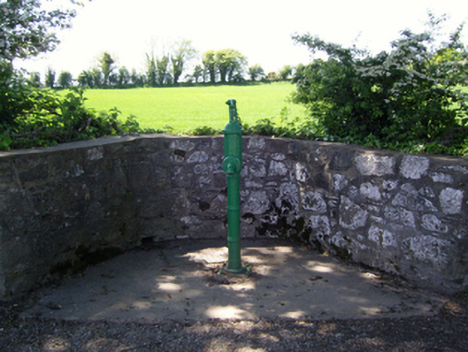 water pumpwater pump · 1415 yd
 site of CastleCastle, unclassified · 1427 yd
 Site of ChurchChurch · 1504 yd
 Partridge HillMountain / peak · 1641 yd
 CastleCastle, tower house · 1679 yd
 Devon whitebeamDevon whitebeam · 1.4 mi
 Camlin HillMountain / peak · 2.0 mi
 John F. Kennedy Arboretum MuseumMuseum · 2.6 mi
 Arboretum MapVisitor information · 2.7 mi