
What is recorded here
Marked as a small circular embanked enclosure (ext. diam. c. 15-20m) only on the 1839 ed. of the OS 6-inch map, and situated on the floor of a small NE-SW valley or fold. It is not visible at ground level in pasture.
The above description is derived from the published 'Archaeological Inventory of County Wexford' (Dublin: Stationery Office, 1996). In certain instances the entries have been revised and updated in the light of recent research.
Compiled by: Michael Moore
Date of upload/revision: 13 September, 2012
The monument record does not grant public access. Check the route and ask the landowner before entering private land.
- What survives
- Recorded monument
Places near here
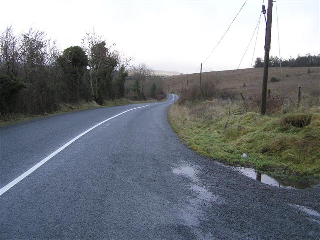 RoadRoad, road/trackway · 178 yd
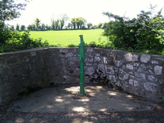 water pumpwater pump · 749 yd
 Kennedy HomesteadHeritage attraction · 1269 yd
 Site of ChurchChurch · 1494 yd
 site of CastleCastle, unclassified · 1559 yd
 St. Nicholas WellHoly well · 1594 yd
 Devon whitebeamDevon whitebeam · 1.1 mi
 Partridge HillMountain / peak · 1.3 mi
 CastleCastle, tower house · 1.4 mi
 SlievecoiltiaMountain / peak · 1.7 mi
 John F. Kennedy Arboretum MuseumMuseum · 2.0 mi
 The Croppy GroveMemorial · 2.0 mi
Other information
Photo: Credit not shown in the picture search · Rights wording not checked; contact us if this picture should be removed