
What is recorded here
Castle, unclassified in Drumatober is a low hillock where grassy banks still shadow the slopes and broken limestone jars from the summit. Local tradition points to this exact place, preserving the castle name long after its walls vanished. The dressed fragments suggest a sixteenth or seventeenth-century building, now reduced to a flat platform scattered with arches and window pieces.
On a low but locally prominent hillock 200m to the NW of a stream. According to the OS Letters (O'Flanagan 1927, Vol. 2, 81), the 'natives' reported that there was a 'castle' in this townland but no location was specified. Local tradition points to this hillock as the site. A series of irregular grassy banks, scarps and berms, particularly on the E and S slopes of the hillock, indicate the former presence of earthworks. These have been disturbed at E by quarrying. On
the summit itself a flat platform (NW-SE 16m, NE-SW 8m) is defined by a scarp, the surface of which is dotted with a number of large blocks of dressed limestone. These include fragments of an arch and a chamfered portion of a window jamb or fireplace mantel, the dressing on which suggests a 16th or 17th-century date.
Compiled by: Galway Archaeological Survey, UCG
Date of upload: 6 June 2017
The monument record does not grant public access. Check the route and ask the landowner before entering private land.
- What survives
- Recorded monument
Places near here
 Parkeen WellHoly well · 477 yd
 Holy WellHoly well · 1024 yd
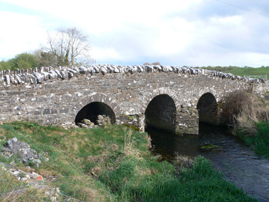 Castletown Bridgebridge · 1525 yd
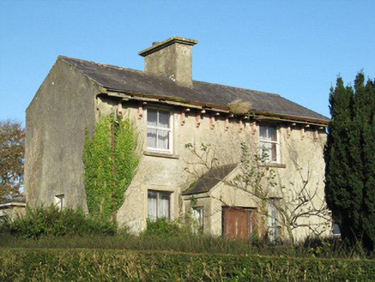 Lisduff Househouse · 1.2 mi
 Knockaunnageeragh Castle in ruinsCastle, unclassified · 1.5 mi
 Streamstown Castle (in ruins)Castle, unclassified · 2.4 mi
 Quarryhill WoodWood · 3.3 mi
 Bog WoodForest · 3.8 mi
 Dartfield Horse MuseumHeritage attraction · 5.2 mi
 Church HillMountain / peak · 6.1 mi
 Battle of AughrimMajor battlefield · 8.0 mi
 The bloody HollowHeritage attraction · 8.0 mi
Other information
Photo: Credit not shown in the picture search · Rights wording not checked; contact us if this picture should be removed