What is recorded here
Castle, unclassified in Creevaghmore: a castle lost in County Longford, granted to Gerald Murtagh in 1620/1 and still drawable on an early 17th-century map. It may have stood as a small defiant house, with rooms for heat, ledgers and fear. Nobody has placed it since, which means the land kept more of the story than the men did.
A land grant to Gerald Murtagh in 1620/1 included ‘the castle and lands of Creevaghmore’ (Cal. pat. rolls Ire., Jas I, 466). This castle is depicted on an early 17th-century map of Shrule barony (BL, Cotton MS Augustus I.ii.26) and is recorded in the OS Name Book as the ‘ruins of a castle’ (OSNB, Forgney parish, 1836-7, book 18, 358). Its precise location has not been identified.
Compiled by: Caimin O'Brien
Date of upload: 30 November 2011
Gerald Murtagh was granted the castle and lands of Creevaghmore in 1620/1, indicating his hold over the site during the early 17th century. Its inclusion on a map of Shrule barony highlights its local administrative or strategic significance at the time.
The monument record does not grant public access. Check the route and ask the landowner before entering private land.
- What survives
- Recorded monument
Places near here
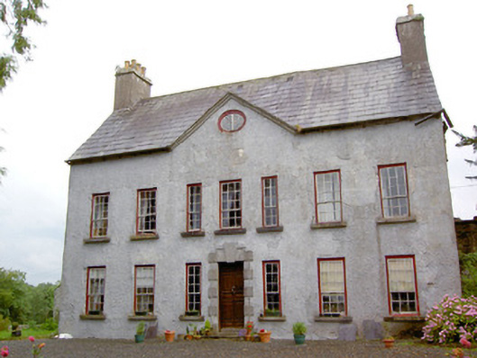 Creevaghmorecountry house · 327 yd
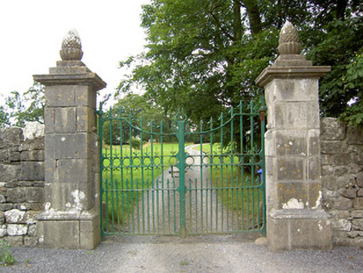 Clooncallow Housegates/railings/walls · 761 yd
 Enclosure in ClooncullenEnclosure · 1004 yd
 Field system in ClooncallowField system · 1142 yd
 Ballymulvey Ho.Castle, unclassified · 1608 yd
 Target WoodWood · 1.3 mi
 Newcastle WoodsForest · 1.4 mi
 European BeechEuropean Beech · 1.5 mi
 Guest ServicesVisitor information · 1.6 mi
 Craft WorkshopHeritage attraction · 1.6 mi
 Goldsmith Birthplace, PallasVisitor information · 2.0 mi
 Noughaval CemeteryArchaeological place · 2.3 mi