
What is recorded here
Castle, unclassified in Craggard is a lost tower hidden beneath bushes on a low limestone ridge, though a 1750 map still claims it stood there. Two mossy stone heaps mark the slope below, perhaps mere field clearance rather than castle walls. The land keeps its secret, offering only a fox covert and a ghost of a building on old paper.
Atop low limestone ridge, in area covered with bushes and trees; named a 'fox covert' on OS 6-inch map. No visible surface trace of castle evident. Two moss-covered heaps of stone visible below top of ridge on ENE-facing slope; probable clearance cairns with larger (1.5m N-S; 1.6m E-W; H 0.4m) c. 0.5m to N of smaller (1m NE-SW; 0.65m NW-SE; H 0.35m). According to Westropp (1916-17, 245) 'a small peel tower ... shown on a map of 1750'.
Compiled by: Denis Power
Date of upload: 26 August 2011
The monument record does not grant public access. Check the route and ask the landowner before entering private land.
- What survives
- Recorded monument
Places near here
 Site of CastleCastle, unclassified · 664 yd
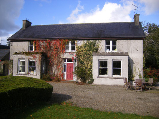 Kilcosgrave Househouse · 682 yd
 Movena Housecountry house · 740 yd
 Fulacht fia in LisbaneFulacht fia · 1101 yd
 Enclosure in LisbaneEnclosure · 1232 yd
 Castle (in ruins)Castle, tower house · 2.4 mi
 St. Luke's WellSpring · 3.6 mi
 St. Kieran's WellSpring · 4.0 mi
 Foynes Flying Boat & Maritime MuseumMuseum · 4.1 mi
 Foynes Island ViewpointViewpoint · 4.3 mi
 Gammarel PointHeadland · 4.3 mi
 Askeaton CastleHeritage attraction · 4.4 mi
Other information
Photo: Credit not shown in the picture search · Rights wording not checked; contact us if this picture should be removed