What is recorded here
Ballybeg Castle vanished from Corcamore before anyone drew its final line, leaving only a name and a family behind. Creagh held the place in 1655, yet no marker now tells where its walls stood or how high they rose. The land keeps that much closer, hiding the shape of the room, the depth of the well and the reason the castle stopped being named.
The precise location of Ballybeg Castle in the townland of Corcamore has not been identified. Westropp (1906-07, 147) recorded the following details about Ballybeg Castle; '1583 C[astle]. named. 1655 It lay, with Barniard, north of Doon, between Carrig View and Vermont, in Corcamore, and was held by Creagh (1b)'.
Compiled by: Caimin O'Brien
Date of upload: 20 November 2020
Ballybeg Castle in Corcamore was recorded as existing in 1583 and is associated with the early modern period in Ireland. It is remembered through historical surveys, though its exact location and builders remain unidentified.
The monument record does not grant public access. Check the route and ask the landowner before entering private land.
- What survives
- Recorded monument
Places near here
 CloughregaunMegalithic structure · 657 yd
 Meelick Ho.House, fortified house · 1353 yd
 kilnkiln · 1.0 mi
 Carrigogunnell CastleRuins · 1.0 mi
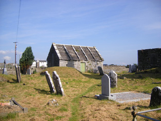 Church of Saint Philip and Saint James (Kilkeedy)mausoleum · 1.0 mi
 Grave YardGraveyard · 1.1 mi
 St James's WellSpring · 1.6 mi
 Sailors HaggardMemorial · 1.9 mi
 Muckinish PointHeadland · 2.9 mi
 Grass IslandIslet · 3.0 mi
 Coonagh NatureNature reserve · 3.1 mi
 Maiden RockNamed rock · 3.2 mi