What is recorded here
Cloghnadromin Castle vanished before anyone marked its stones, leaving only a tower-house shadow on old survey maps. John Burgett held the land in 1641, and later surveys named a castle and mill beside it, but the exact spot escaped every searcher. The castle may still hide beneath grass or river clay, waiting for someone to stop asking permission and start watching the ground.
The precise location of a castle in the townland of Cloghnadromin has not been identified. Westropp (1906-7, 98) recorded the following details about Cloghnadromin Castle; '1641 John Burgett held Cloghenn Drummin (Dep. 134). 1655 The C[astle]. and mill of Cloghdrumon, Cloghnadromin, and Cloghidrumon (D.S.A., 14, 27, and exp.; Petty, 65). Tower-house like castle with single storey hall/house attached to one side is depicted on the 17th century Down Survey map of Clanwilliam Barony (Hib. Reg.) and on the parish map of Abbeyowney (NLI MS. 718). The terrier of the Down Survey parish map recorded that John Bourke of Cloghnadromin there is 'a Castle' (NLI, MS. 718). The 1654-56 Civil Survey of Limerick recorded that John Borke deceased and late of Cloghnadromin was the owner of 'a Castle & a mill seate' (Simington 1938, 86).
Compiled by: Caimin O'Brien
Date of upload: 2 December 2020
John Burgett held Cloghnadromin Castle in 1641. The castle is remembered primarily through early historical records, offering a glimpse into landholding patterns in Ireland during the 17th century.
The monument record does not grant public access. Check the route and ask the landowner before entering private land.
- What survives
- Recorded monument
Places near here
 An Tobarhouse · 140 yd
 BarrowBarrow, ditch barrow · 373 yd
 Enclosure in CloghnadrominEnclosure · 387 yd
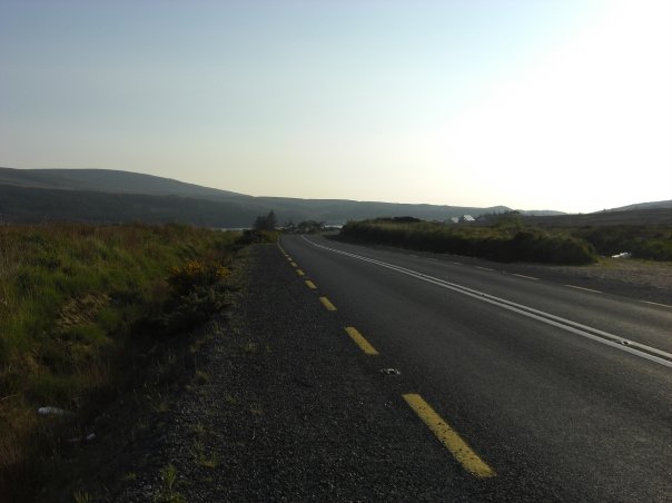 RoadRoad, road/trackway · 428 yd
 CastleCastle, unclassified · 1.1 mi
 Bawn in CarrigarreelyBawn · 1.4 mi
 Graveyard in AbingtonGraveyard · 2.9 mi
 Sliev Felim WayVisitor information · 4.2 mi
 Campus MapVisitor information · 4.7 mi
 ToberauillinSpring · 4.8 mi
 Fountain SculptureHeritage attraction · 4.8 mi
 Skool HillMountain / peak · 5.6 mi