What is recorded here
Castlefarm holds a castle Taylor drew in 1783 but nobody can find. It vanished from later maps, local memory and the land itself, leaving only a name and a missing shape. The town may be built on the exact spot where the walls once stood, but the earth keeps that secret intact.
Depicted and annotated as a ruined castle on Taylor's 1783 Map of County Kildare, but not recorded on any OS maps. No visible surface trace survives and the castle is not remembered locally. The precise location of this castle has not been identified.
Compiled by: Gearóid Conroy
Revised by: Caimin O'Brien
Date of revised upload: 17 June 2016
The monument record does not grant public access. Check the route and ask the landowner before entering private land.
- What survives
- Recorded monument
Places near here
 Enclosure in Castlefarm (fontstown Ed)Enclosure · 324 yd
 Enclosure in GreatrathEnclosure · 361 yd
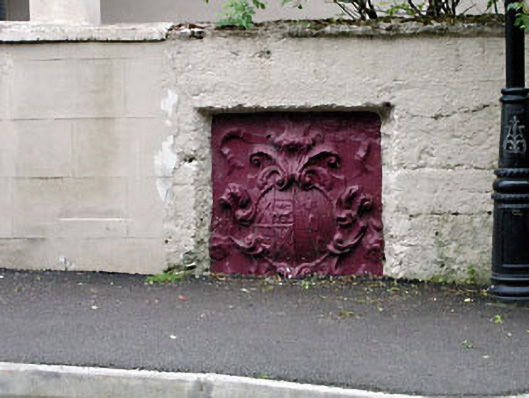 monumentmonument · 946 yd
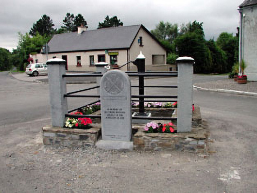 water pumpwater pump · 975 yd
 Battle of Kilrushbattle · 1.0 mi
 Narraghmore WoodWood · 1.3 mi
 CastleCastle, unclassified · 1.4 mi
 Blackhall CastleCastle, tower house · 1.5 mi
 Narraghmore Nature ReserveForest · 1.6 mi
 Gorden Bennet Race memorialMemorial · 3.6 mi
 History of Moat of ArdscullVisitor information · 3.6 mi
 Burtown House and GardensHeritage attraction · 4.1 mi