What is recorded here
Carrowcaslan means the red place, a hint that soil or stone once caught the eye. Whether the castle stood tall or lay broken when first named is no longer clear. What remains is a border marker in the landscape, the kind of place people pointed to before they wrote anything down.
The Archaeological Survey of Ireland (ASI) is in the process of providing information on all monuments on The Historic Environment Viewer (HEV). Currently the information for this record has not been uploaded. To access available information for research purposes please make an appointment in advance with the Archive Unit (open Fridays 10.00 am – 5.00 pm), Department of Housing, Local Government and Heritage, The Custom House, Dublin 1 D01W6XO or email NMarchive@housing.gov.ie.
The monument record does not grant public access. Check the route and ask the landowner before entering private land.
- What survives
- Recorded monument
Places near here
 Man-made underground passage in CarrowcaslanMan-made underground passage · 198 yd
 Structure in CarrowcaslanStructure · 200 yd
 Templeboy Church (in Ruins)Church · 789 yd
 Aughris BeachBeach / strand · 1285 yd
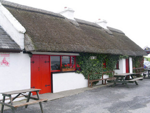 public housepublic house · 1397 yd
 Dunmoran StrandBeach / strand · 1705 yd
 Aughris HeadHeadland · 1.5 mi
 CastleCastle, Anglo-Norman masonry castle · 1.8 mi
 Bawn in CarrowbrickeenBawn · 3.5 mi
 Derkmore PointHeadland · 4.0 mi
 Knockalongy North-East TopMountain / peak · 4.0 mi
 Valley WoodForest · 4.4 mi