What is recorded here
Castle is an empty name on a dead map, marked near Britfieldstown House in County Cork during the Down Survey of 1655-6. It may have been a grand castle or a humble house, but time erased even that distinction. The land itself forgot the walls, leaving only a coordinate and a question about what shape power once wore before disappearing.
Structure (castle/house) marked in vicinity of Britfieldstown House (CO113-034----) on Down Survey (1655-6) (1652) map, of which nothing appears to remain (Healy 1989, 233).
The above description is derived from the published 'Archaeological Inventory of County Cork. Volume 2: East and South Cork' (Dublin: Stationery Office, 1994). In certain instances the entries have been revised and updated in the light of recent research.
Date of upload/revision: 14 January 2009
The monument record does not grant public access. Check the route and ask the landowner before entering private land.
- What survives
- Recorded monument
Places near here
 outbuildingoutbuilding · 250 yd
 IndicatedKiln, lime · 356 yd
 Fulacht fia in BritfieldstownFulacht fia · 633 yd
 Rocky BayBeach / strand · 1095 yd
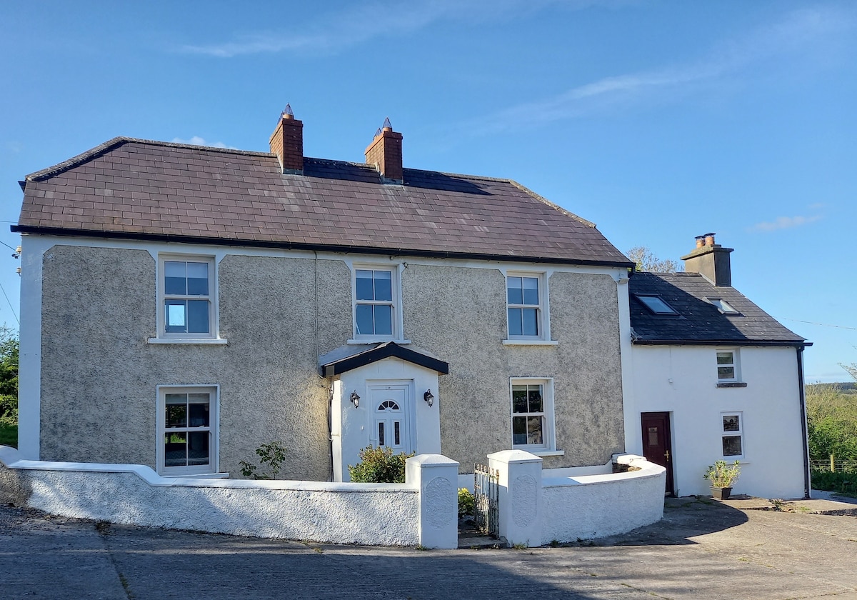 Enclosure in BallyfoyleEnclosure · 1409 yd
 View Cork HarbourViewpoint · 1.5 mi
 Fountainstown BeachBeach / strand · 2.4 mi
 Barrys Castle (Site of)Castle, unclassified · 4.1 mi
 Castle (in Ruins)Castle, tower house · 4.2 mi
 Creek Newfoundland BsyViewpoint · 4.4 mi
 Coolmore WoodWood · 4.5 mi
 Roches PointHeadland · 4.6 mi