What is recorded here
Ballynacor Castle vanished before it was ever properly seen. A small Nugent stronghold guarded a military post near the Kells to Athlone road until mid-1655, yet no wall, chamber or castle shadow has since been found in the pasture where it should stand.
The precise location of Ballynacor Castle has not been identified. The Nugent castle is depicted on the 1655 Down Survey map of Killulagh parish (NLI, MS 723-4). The terrier of this parish map recorded that there was in Ballynacor 'a Small Castle in repaire wherein a Garrison was kept till within this year and halfe and some English houses with diverse cabbins' (ibid.). This castle in 1641 stood on lands belonging to Alderman Thomas Nugent who is listed as an 'Irish Papist' in the terrier of the Down Survey. On this map the castle is shown standing in the E quadrant of the townland and S of a medieval bridge (WM013-118---) and the 'greate Roade' (WM013-117----) connecting Kells and Trim to Athlone.
The castle is not depicted on any edition of the OS 6-inch maps. The location marked on the RMP map for Co. Westmeath was an approximate transposition of the location based on the Down Survey map. However the scale of the Down Survey map does not allow for an accurate location. In 1983 the are marked on the RMP map was visited and described as following: ‘No trace of a castle can be seen in this area. This is an area of good pasture with numerous rocky outcrops’ (ASI Field Report 25/05/1983).
Compiled by: Caimin O'Brien
Date of upload: 5 October 2016
Ballynacor Castle was built by the Nugent family, who were prominent Anglo-Norman lords in Ireland, and is recorded on the 1655 Down Survey map. It is remembered as evidence of medieval landholding and fortification in the Killulagh parish area.
The monument record does not grant public access. Check the route and ask the landowner before entering private land.
- What survives
- Recorded monument
Places near here
 OutlinedFairy fort / earthen ringfort · 355 yd
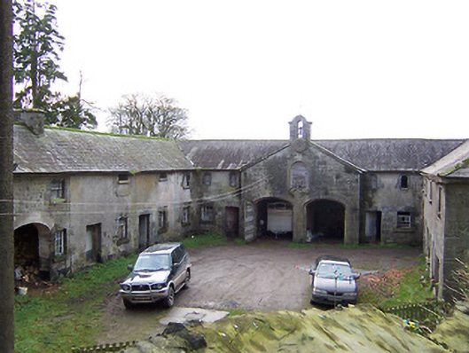 Rockview Housestables · 675 yd
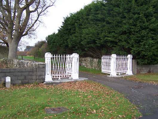 Dysart Housedemesne walls/gates/railings · 1255 yd
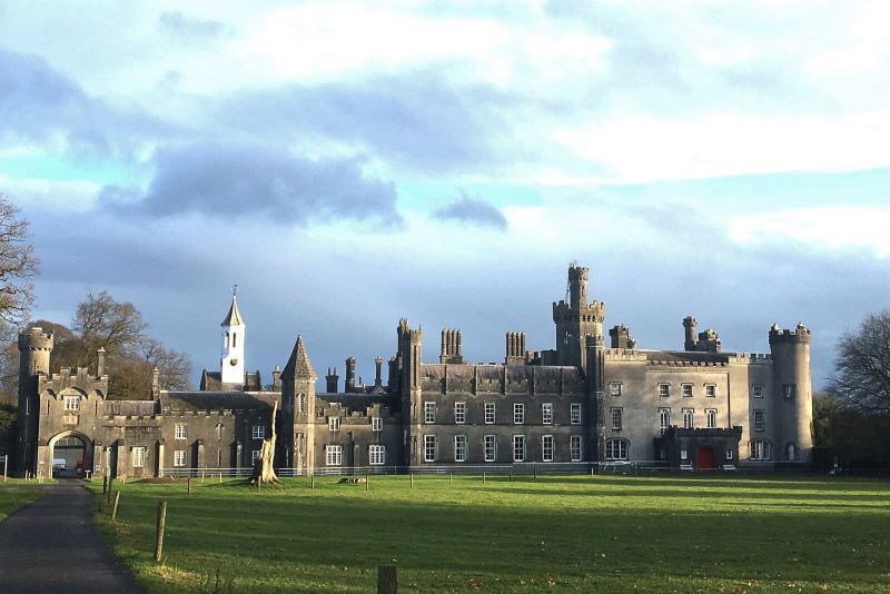 Mulchans Castle in ruinsCastle, tower house · 1.2 mi
 Martinstown Castle in RuinsCastle, tower house · 1.3 mi
 Tober LuibeHoly well · 1.3 mi
 GinkgoGinkgo · 2.1 mi
 ScregganWood · 4.3 mi
 Kells HillMountain / peak · 7.3 mi
 Seafin HillMountain / peak · 8.5 mi
 Croppies' GraveMemorial · 11 mi
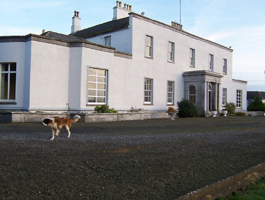 Bracklyn Housecountry house · 1.2 mi