What is recorded here
Ballynacrow Castle vanished before it could be found, leaving only a shadow on a 1657 map near Mount Dalton Lough. Nicholas Dalton owned the land where the tower stood, yet no stone remains for modern eyes to touch. The castle escaped every later survey and resisted every search, becoming a ghost that exists only in ink and memory.
The precise location of Ballynacarrow Castle has not been identified. The castle is depicted on the 1657 Down Survey map of Rathconrath parish where it is depicted as a tower house type structure standing close to the SW shoreline of Mount Dalton Lough (NLI, MS 723-4). The terrier of the Down Survey map of Rathconrath parish stated there was in 'Rathconrath a Castle' standing on lands belonging to Nicholas Dalton (ibid.). The castle is not depicted on any edition of the OS 6-inch maps. The location marked on the Westmeath RMP map was based on the 17th century Down Survey map which was superimposed onto the OS 6-inch map. This area was visited in 1983 and no surface remains of any castle site was discovered in this area.
Compiled by: Caimin O'Brien
Date of upload: 5 October 2016
Ballynacarrow Castle was likely built in the 16th or early 17th century by a local Gaelic or Anglo-Irish lord, as part of the defensive and administrative network in the region. It is remembered for its depiction on the 1657 Down Survey, an important historical record of land ownership and settlement in early modern Ireland.
The monument record does not grant public access. Check the route and ask the landowner before entering private land.
- What survives
- Recorded monument
Places near here
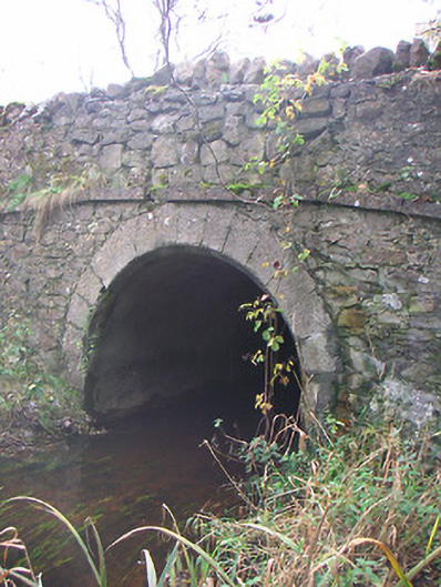 Corr Bridgebridge · 772 yd
 Hut site in Ballynacarrow (rathconrath By.)Hut site · 933 yd
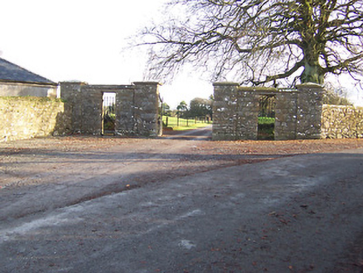 Mount Dalton Housegates/railings/walls · 1233 yd
 Boleyvillish CastleCastle · 1233 yd
 Partially indicatedEcclesiastical enclosure · 1496 yd
 Site of CastleCastle, unclassified · 1.4 mi
 Hill of UisneachMountain / peak · 1.6 mi
 Ancient Ring FortWood · 1.8 mi
 European ashEuropean ash · 2.4 mi
 KnockastiaMountain / peak · 6.1 mi
 Abbeyshrule AbbeyRuins · 6.9 mi
 Guest ServicesVisitor information · 7.7 mi