
What is recorded here
Down Survey cartographers marked a small tower in Ballinwillin during 1655-6, yet later inventories forgot the claim. The drawing suggests a resident structure rather than a ruined heap, possibly belonging to a family that avoided official notice. A castle absent from lists may have been smaller, younger, or deliberately hidden from the men counting property for a new regime.
A small tower is depicted on the Down Survey (1655-6) barony map in this townland. No such castle is listed by Healy (1988) or O'Donoghue (1986).
The above description is derived from 'The Archaeological Inventory of County Cork. Volume 5' (Dublin: Stationery Office, 2009).
Date of upload: 22 December 2009
The monument record does not grant public access. Check the route and ask the landowner before entering private land.
- What survives
- Recorded monument
Places near here
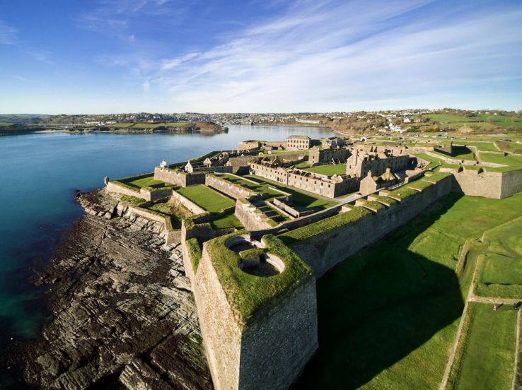 Fort (Site of)Fairy fort / earthen ringfort · 1462 yd
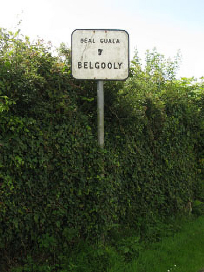 sign postsign post · 1480 yd
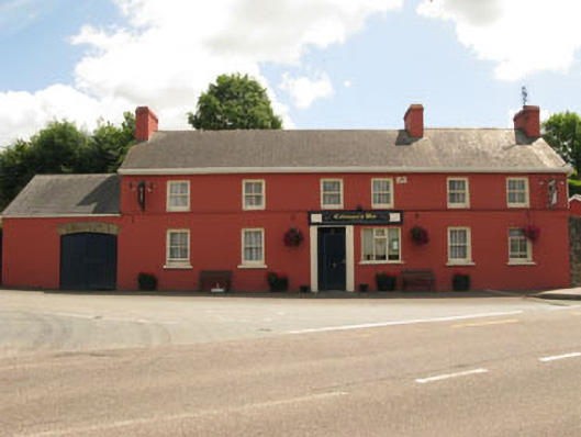 Coleman's Barhouse · 1530 yd
 Pallastown WoodWood · 1561 yd
 IndicatedHoly well · 1.1 mi
 Kinure Castle (Site of)Castle, unclassified · 1.8 mi
 Graveyard in ArdbrackGraveyard · 2.1 mi
 Spanish Galleon MainmastHeritage attraction · 2.7 mi
 Tim & Mortimer McCarthy MemorialMemorial · 2.7 mi
 Kinsale Harbour CruisesHeritage attraction · 2.7 mi
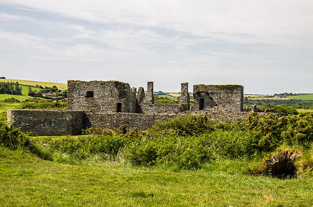 James FortVisitor information · 2.8 mi
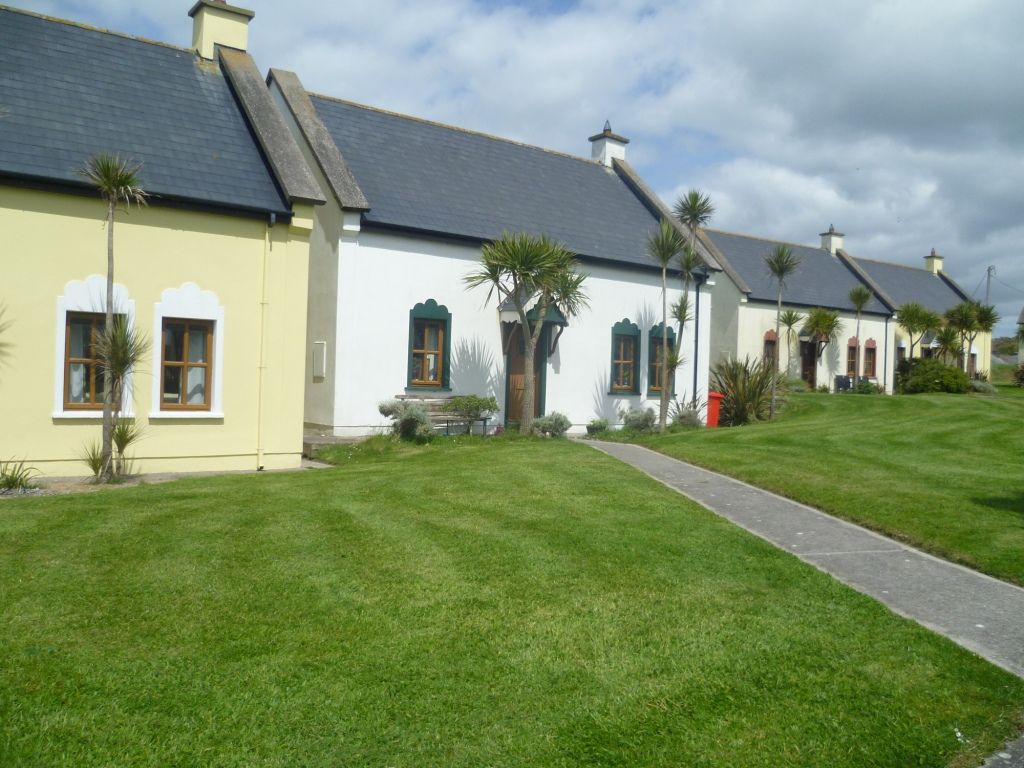 Kinsale Alms HousesVisitor information · 2.8 mi
Other information
Photo: Credit not shown in the picture search · Rights wording not checked; contact us if this picture should be removed