
What is recorded here
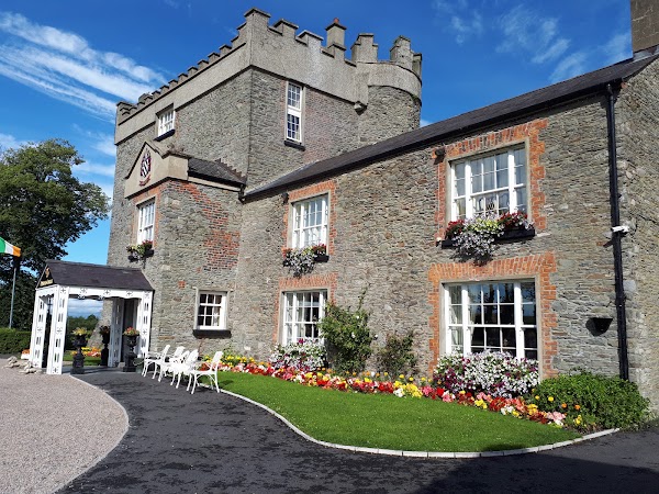
Castle, tower house in Allardstown (louth By) stands in County Louth, Ireland. The Down Survey barony map marked a castle at this point in Killincoole parish during 1656-8, though its exact spot has slipped from modern certainty. A house at Grange appears nearby on the Taylor and Skinner map, hinting that the tower still casts its shadow through ordinary walls.
A castle at this point in Killincoole parish is indicated (18) on the Down Survey (1656-8) barony map, for which see this web-page accessed on 26 April, 2016. http://downsurvey.tcd.ie/down-survey-maps.php#bm=Louth&c=Louth Its precise location cannot be identified, but a house at Grange in this general area is depicted here on the Taylor and Skinner map (P 260).
Compiled by: Michael Moore
Date of upload: 26 April 2016
The monument record does not grant public access. Check the route and ask the landowner before entering private land.
- What survives
- Recorded monument
Places near here
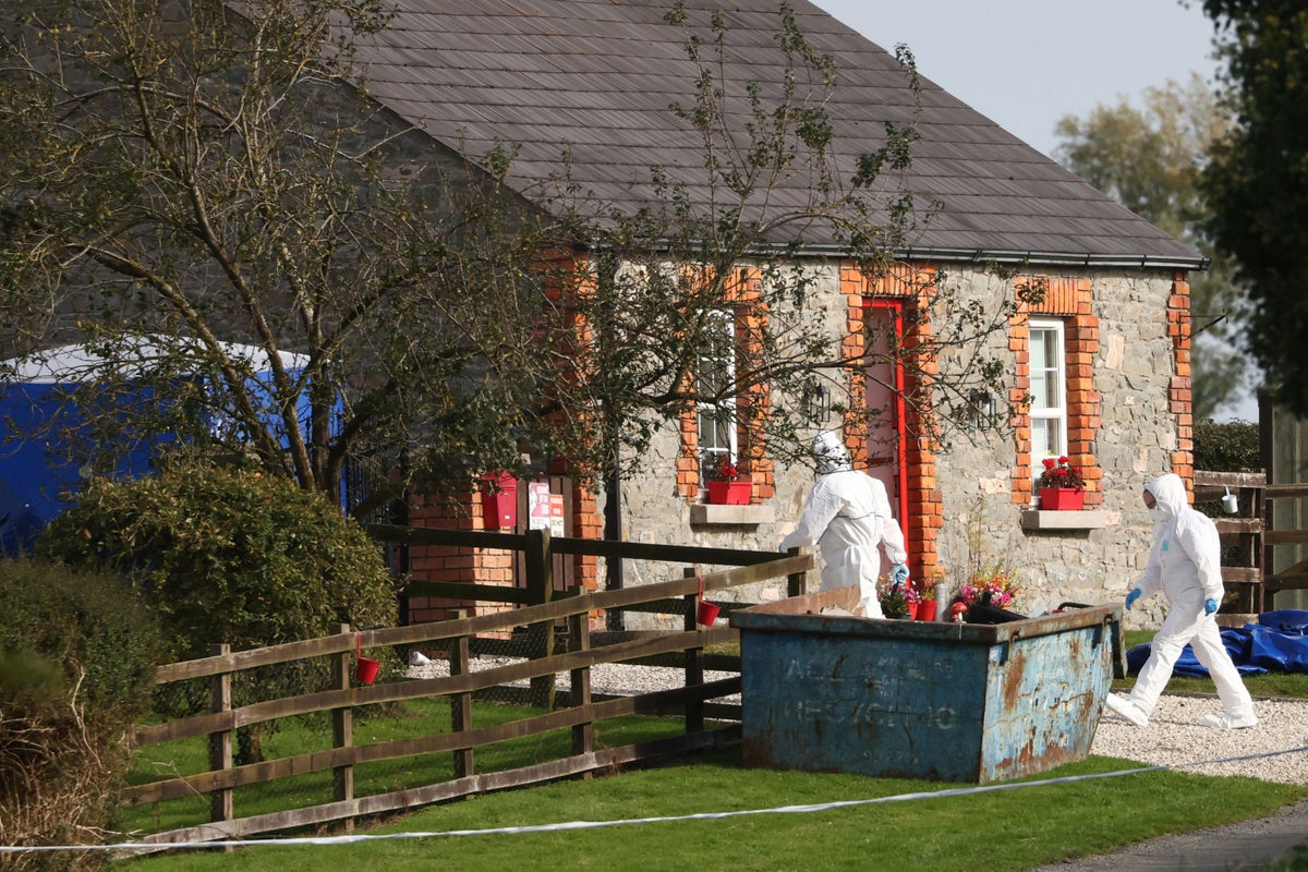 Enclosure in KillincooleEnclosure · 548 yd
 Man-made underground passage in Allardstown (louth By)Man-made underground passage · 913 yd
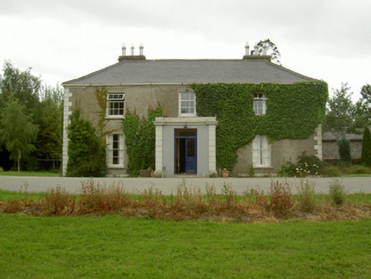 Kilincoole Househouse · 1412 yd
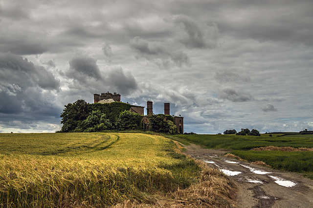 Stephenstown Housecountry house · 1423 yd
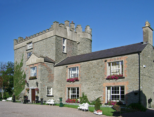 Bawn in DarverBawn · 1.4 mi
 Darver CastleCastle · 1.4 mi
 Photo GalleryHeritage attraction · 4.3 mi
 Dundalk CentralHeritage attraction · 4.4 mi
 Maid of ErinMemorial · 4.7 mi
 Bombing 1975Memorial · 4.8 mi
 Soldiers' PointHeadland · 6.4 mi
 Battle of FaughartMajor battlefield · 7.4 mi
Other information
Photo: Kieran Campbell · Creative Commons Attribution-ShareAlike 2.0