What is recorded here
Five cart loads of human bones came from the circular earthwork before men levelled it, proving the rath served as a graveyard rather than an empty field. Adam de Hereford built his castle there between 1207 and 1213, yet the site may have marked an older church where bodies had lain for generations. The handball alley and snooker club now occupy the soil, forcing players to strike beside bones that predated the castle and resisted every attempt to erase them.
Not marked on the 1841 or 1908 editions of the OS 6-inch maps. 135m NE of Rathdowney Protestant church (LA028-055001-) was a circular flat-topped enclosure (diam. 22.5-7m, H c. 2.43m). It was levelled in 1840 and five cart loads of human bones were removed from it; possible site of ancient church (LA028-055002-) (Carrigan 1905, vol. 2, 339, 340). No visible surface remains.
Earthwork was levelled around 1804 and was replaced by a school house that was subsequently knocked down and replaced by a handball alley and CYMS building that is now used as a snooker club. This monument may have been a ringwork that was situated beside the old medieval church of Rathdowney (LA028-055002-), and inside the graveyard that enclosed this medieval church. Could have been the site of the thirteenth century castle that was built by Adam de Hereford between 1207-1213.
Described by Carrigan as 'Rath Domhnaigh, the Rath of the Domhnach or Church. 'The 'Rath' from which the name has its origin, was situated at the north side of Rathdowney Square, in Mr. Patrick Murphy's yard and garden, 150 yards north-east of the Protestant church. It was circular in shape, 25 or 30 yards in diameter and flat at the top, and raised about 8ft. Over the surrounding land. The presence of such a great quantity of human bones would certainly point to the rath as the site of an ancient churchyard, and, consequently, of a Domhnach or Church' (Carrigan 1905, vol. 2, 339-40). In 1207 and 1213 Adam de Hereford was granted the 'tuath of Mamocle in which his castle of Radouney stands' (Cunningham 1987, 166). Could be the same site as the unlocated castle within townland that is mentioned in the OS letters as 'About that time the royal palace (castle?) of that territory which is called rath Bacain, began to be erected from the foundation' (O'Flanagan 1933, vol. 2, p. 12).
The above description is derived from the published 'Archaeological Inventory of County Laois' (Dublin Stationery Office, 1995) compiled by P. David Sweetman, Olive Alcock and Bernie Moran. In certain instances the entries have been revised and updated in the light of recent research.
Date of upload: 17 December 2007
The monument record does not grant public access. Check the route and ask the landowner before entering private land.
- What survives
- Recorded monument
Places near here
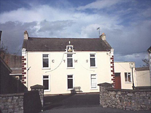 Rathdowney Christian Young Mens' Societyschool · 6 yd
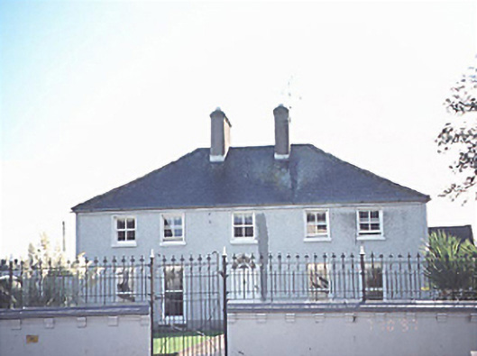 rectory/glebe/vicarage/curate's houserectory/glebe/vicarage/curate's house · 54 yd
 Donaghmore Castle ruinsCastle · 1487 yd
 Enclosure in Coolnaboul WestEnclosure · 1707 yd
 Enclosure in CreelaghEnclosure · 1.0 mi
 CastleCastle, ringwork · 1.1 mi
 Big WoodWood · 3.6 mi
 Cnoc SeanrathaMemorial · 3.9 mi
 European PearEuropean Pear · 4.8 mi
 DelaneyMemorial · 7.4 mi
 Anker's IslandIsland · 9.8 mi
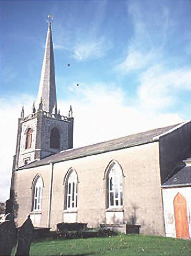 Saint Andrew's Church (Rathdowney)church/chapel · 72 yd