
What is recorded here
Castle, ringwork in Rathbane North is a partial circular defence about seventy-five metres across, buried under grass beside a golf course and housing estate. Its scarp, fosse and outer bank still mark the boundary of a place that once commanded attention before becoming a hidden feature in an ordinary landscape. The gap in the western bank and the truncated northern edge suggest both deliberate entry and later damage, leaving the castle incomplete but still recognizable beneath the vegetation.
Situated on a gentle rise in the N part of a golf course, immediately to E of a housing estate and S of a garage and workshop. The monument is masked by dense grassy vegetation cover. A partial circular area (diam. c. 75m) defined by a scarp, an outer bank and an intervening fosse. It has been truncated from NNW to NNE. The scarp (H 1m) has been embellished by a slight bank (Wth less than 0.5m) from NNE and NE. The fosse (Wth. 7.9m) is flat-bottomed and is evident throughout the circuit of the scarp and the outer bank (int. H 0.6m; ext. H 0.5m; Wth. 2m). There is a gap (Wth. 2.8m) in the W of the external bank.
Compiled by: Denis Power
Date of upload: 30 August 2012
The monument record does not grant public access. Check the route and ask the landowner before entering private land.
- What survives
- Recorded monument
Places near here
 BarrowBarrow, unclassified · 780 yd
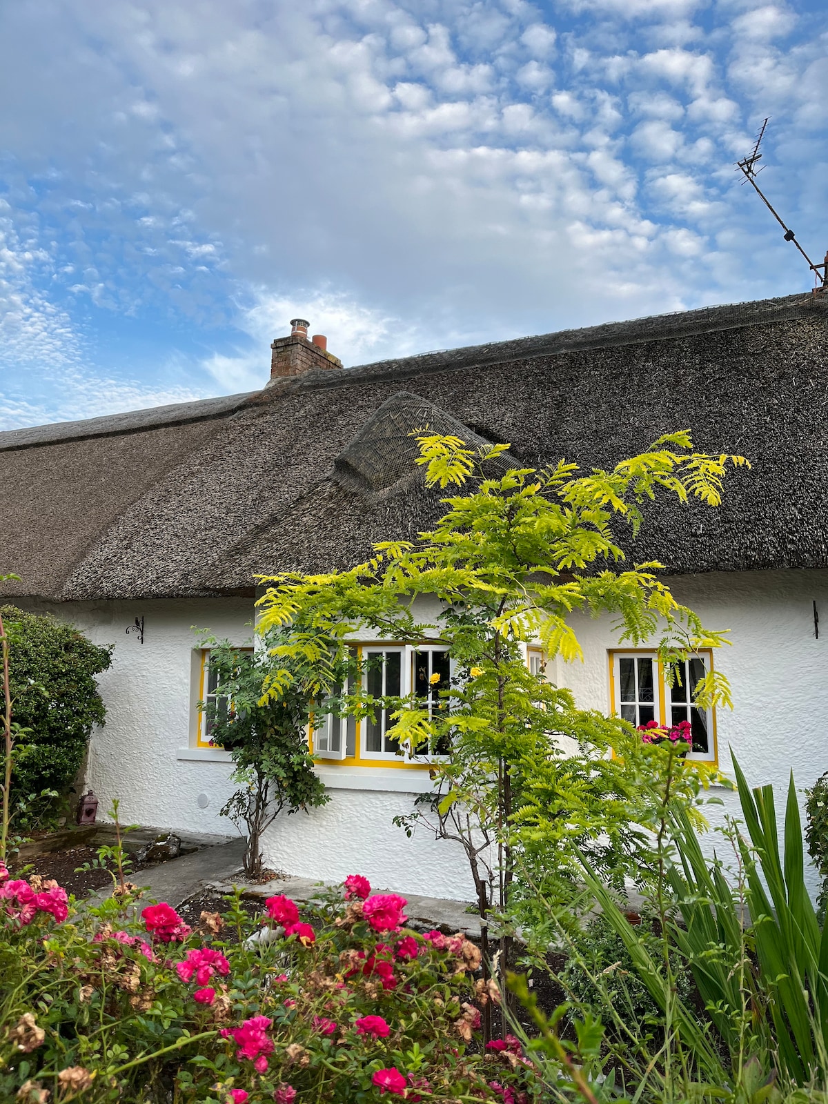 Habitation site in Banemore (clanwilliam By.)Habitation site · 803 yd
 Not shown.Kiln, corn-drying · 857 yd
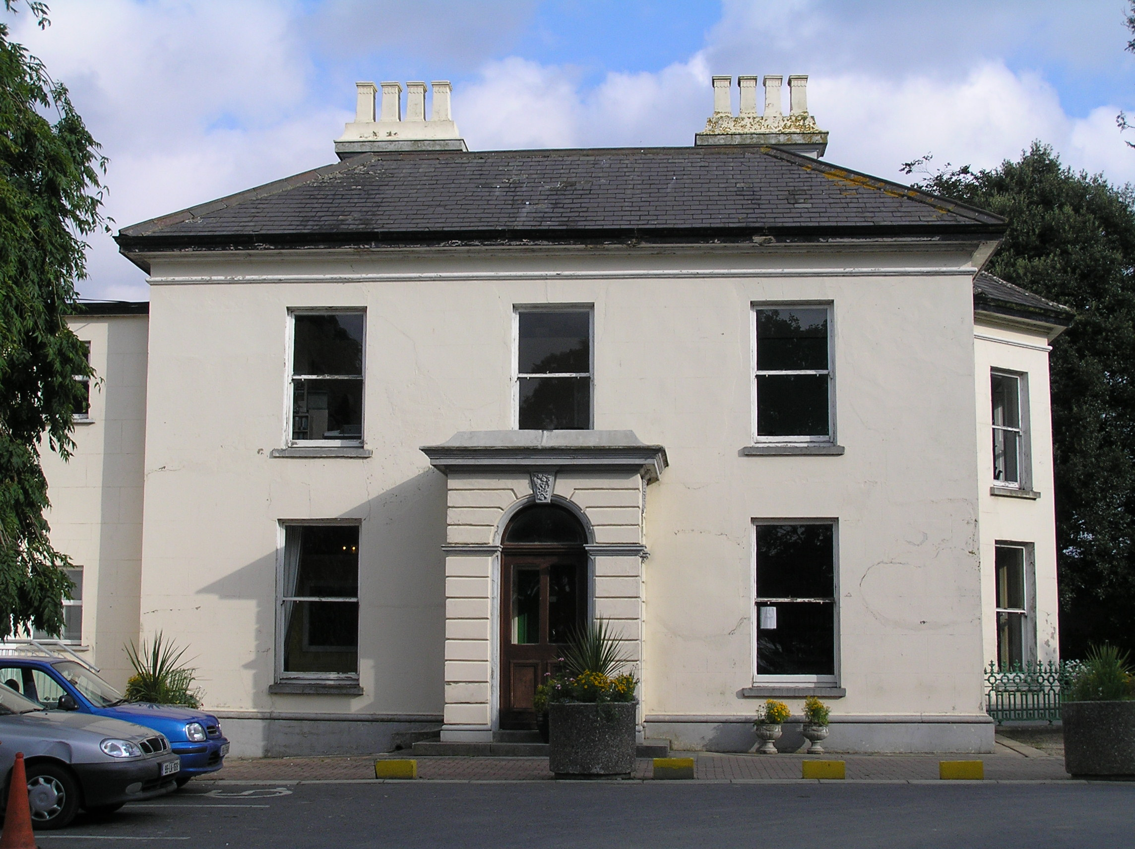 Southill Househouse · 936 yd
 Castle (in ruins)Castle, tower house · 1114 yd
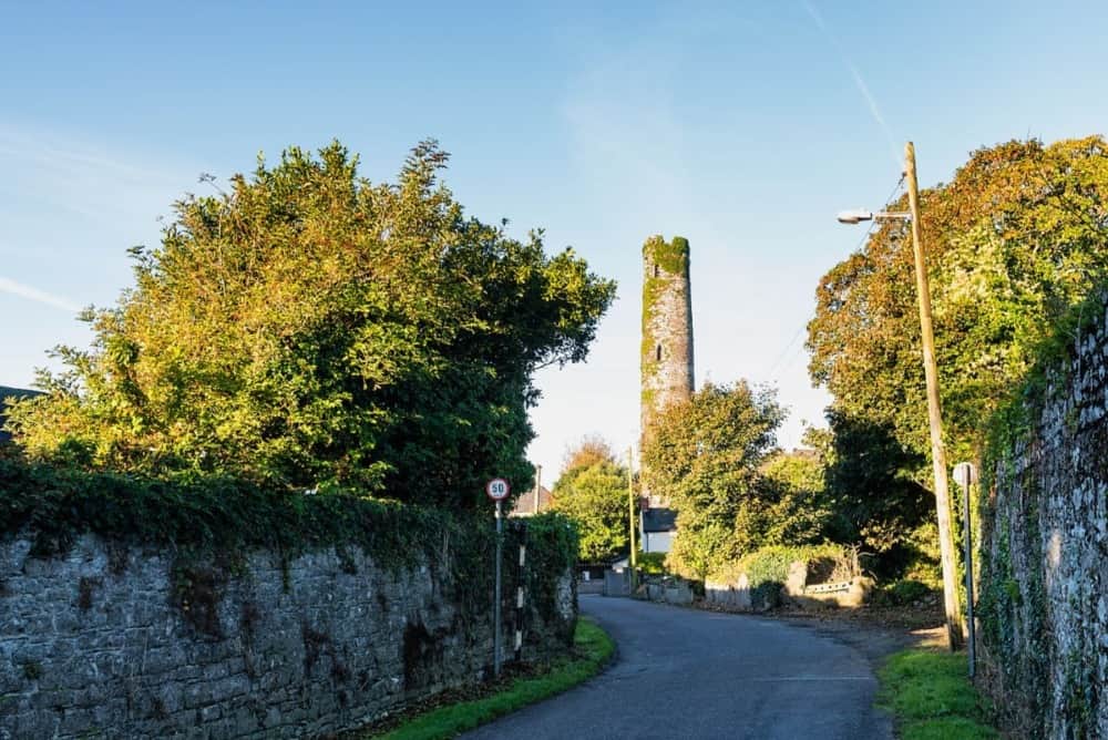 Round Tower (Site of)Castle, tower house · 1617 yd
 The Singer from QuimperMemorial · 1.6 mi
 Saint John Paul IIMemorial · 1.7 mi
 King's IslandIsland · 2.1 mi
 Fountain SculptureHeritage attraction · 2.3 mi
 Visitor CentreVisitor information · 2.3 mi
 Campus MapVisitor information · 2.3 mi
Other information
Photo: Credit not shown in the picture search · Rights wording not checked; contact us if this picture should be removed