What is recorded here
Castle, ringwork in Park (aghnameadle Par.) stands just off the hill summit, a thirty-six-metre circle where stone footings still protrude through the inner earth bank. The outer defence has surrendered to time, but the causewayed entrances and deep fosse remain sharp enough to suggest the shape of the trap. Whoever built it chose visibility and vulnerability together, forcing every visitor to climb into the open before the gate appeared.
Situated just off the summit of a hill on a S-facing slope in an upland area. A raised circular area (diam. NE-SW 36m; NW-SE 32m) enclosed by two flat-topped earth and stone banks and a wide flat-bottomed intervening fosse (Wth 4m) with causewayed entrances at NE (Wth 3.5m) and SE (Wth 2.5m). Evidence of wall-footings protrude from the top of the inner bank (Wth 4m; int. H 1m; ext. H 3.3m) while the outer bank (Wth 2-3m; ext. H 2-3m; int. H 1.7m) is destroyed from N to E.
The above description is derived from 'The Archaeological Inventory of County Tipperary. Vol. 1 - North Tipperary' compiled by Jean Farrelly and Caimin O'Brien (Dublin: Stationery Office, 2002). In certain instances the entries have been revised and updated in the light of recent research.
Date of upload/revision: 22 September 2008
The monument record does not grant public access. Check the route and ask the landowner before entering private land.
- What survives
- Recorded monument
Places near here
 IndicatedFairy fort / earthen ringfort · 842 yd
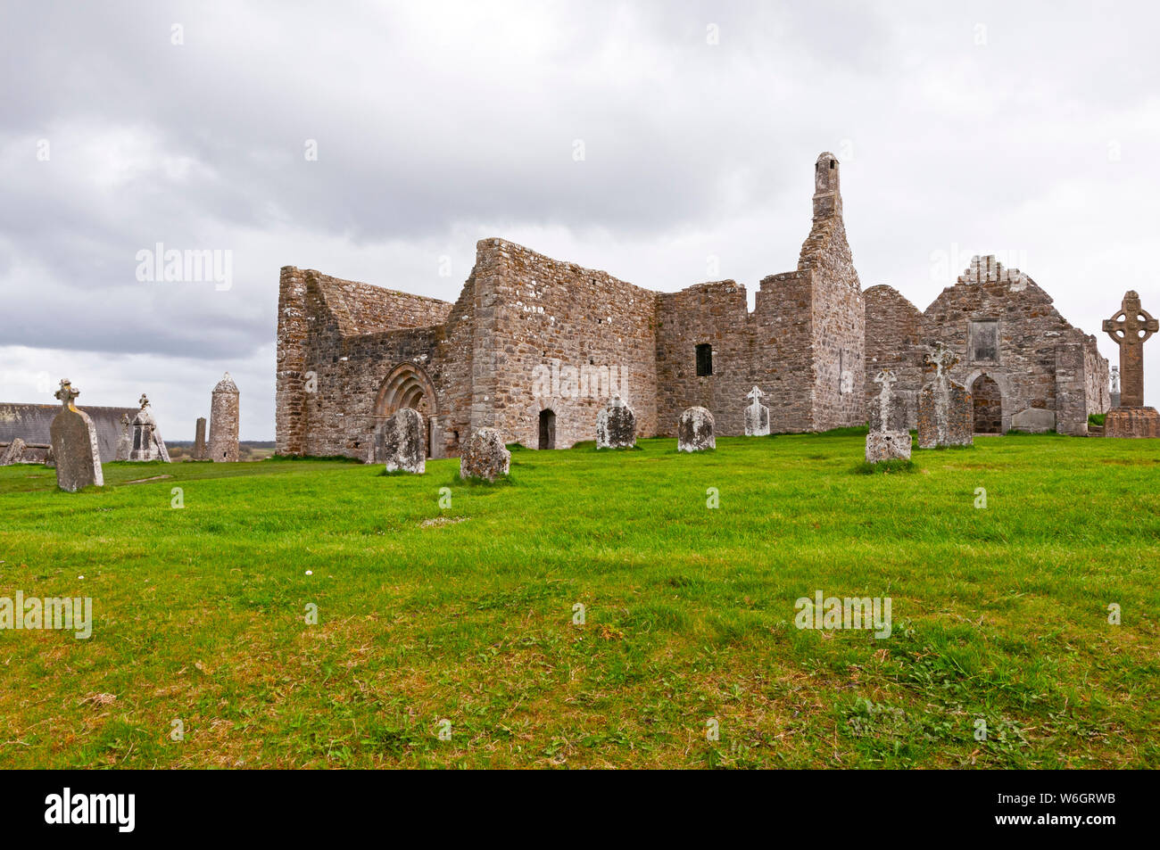 Enclosure in ClynoeEnclosure · 908 yd
 Laughton Housecountry house · 1250 yd
 CastleCastle, tower house · 1390 yd
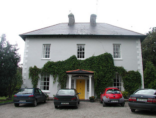 Allatrim Househouse · 1411 yd
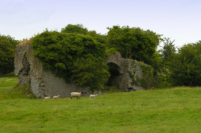 Bawn in CullenwaineBawn · 1.3 mi
 Kyleroe WoodWood · 1.3 mi
 BenduffMountain / peak · 3.1 mi
 Borrisnoe MountainMountain / peak · 3.9 mi
 Thomas MacDonagh Heritage CentreMuseum · 4.9 mi
 MacDonagh HouseMemorial · 4.9 mi
 Ballycapple WoodForest · 5.2 mi