What is recorded here
Utilising a natural hillock in undulating pasture sloping generally to S. Lyonstown Castle (TS069-006----) was located c. 100m to N. Raised roughly circular enclosure (diam. 38.5m N-S; 34m E-W) defined by a bank with high stone content (Wth 5.3m; int. H 0.86m; ext. H 3.05m), ext. fosse (Wth 2.8m; 2.07m) and outer bank (Wth 2.8m; ext. H 0.7m) visible from E-S-W. Gap (Wth c. 5.5m) in inner bank in S quadrant, outer bank is disturbed in this sector. Gap (Wth 2m) in inner bank in NW quadrant.
Compiled by: Jean Farrelly
Date of upload: 26 August 2011
Built in the 13th or 14th century, this ringwork was likely constructed by a local Norman or Anglo-Norman lord for regional defense or control. It is remembered as a rare example of a ringwork in the area, illustrating early medieval military adaptations to local terrain.
The monument record does not grant public access. Check the route and ask the landowner before entering private land.
- What survives
- Recorded monument
Places near here
 Commons Cottagehouse · 1012 yd
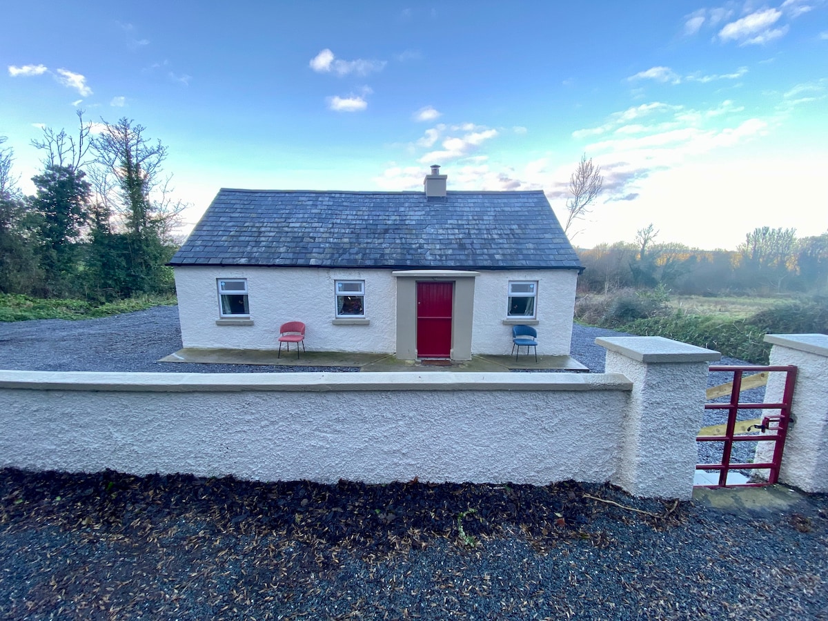 Enclosure in Garryandrew NorthEnclosure · 1022 yd
 Enclosure in Stephenstown,stephenstownbegEnclosure · 1247 yd
 Church (in ruins)Church · 1388 yd
 CastleCastle, ringwork and bailey · 1613 yd
 Bawn in Ballyduagh (railstown Par.)Bawn · 1.0 mi
 Cashel Folk MusuemMuseum · 3.2 mi
 Black mulberryBlack mulberry · 3.2 mi
 The Rock Of CashelVisitor information · 3.4 mi
 Cormac's ChapelHeritage attraction · 3.4 mi
 Ballyknock HillMountain / peak · 3.8 mi
 Caucasian zelkovaCaucasian zelkova · 7.9 mi