
What is recorded here
On an E-facing slope. A roughly square enclosure (dims. c. 50m N-S; c. 53m E-W) with rounded corners, defined by a bank and broad deep U-shaped fosse (D c. 2m; Wth 4m). A townland boundary ran roughly N-S along the E side and another ran along the public road which formerly skirted the S edge of the monument. In 1974 a new Callan-Kilkenny road was constructed across the centre of the monument from NE-SW, by which time the enclosure had been levelled by ploughing (Sutton 1974, 18). Archaeological investigations were carried out which revealed that an extensive area of the interior had been cobbled (ibid.). There was a well (D 3m) built of dry-stone walling in the SE quadrant and the base of a stone and mortar tower (int. dims. < 2m) were found in the fosse in the NE quadrant (ibid.). The excavator noted two phases of habitation, the earliest dating to the 13th-century based on pottery finds, while, ‘structural and material finds suggest that secondary habitation of the site occurred in late or post medieval times’ (ibid.). The 13th-century date for the primary occupation suggests that this is an Anglo-Norman earthwork, possibly a ringwork.
Compiled by: Jean Farrelly
Date of upload: 9 May 2022
A local castle; wider significance not recorded.
The monument record does not grant public access. Check the route and ask the landowner before entering private land.
- What survives
- Recorded monument
Places near here
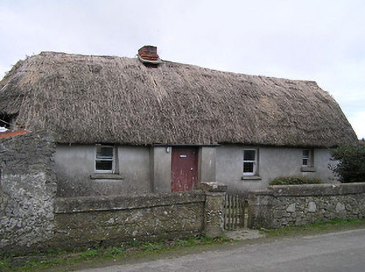 Dixon's Cottagefarm house · 588 yd
 Enclosure in Tullamaine (flood)Enclosure · 1162 yd
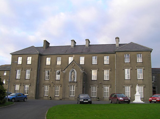 Saint Mary's Convent of Mercyconvent/nunnery · 1467 yd
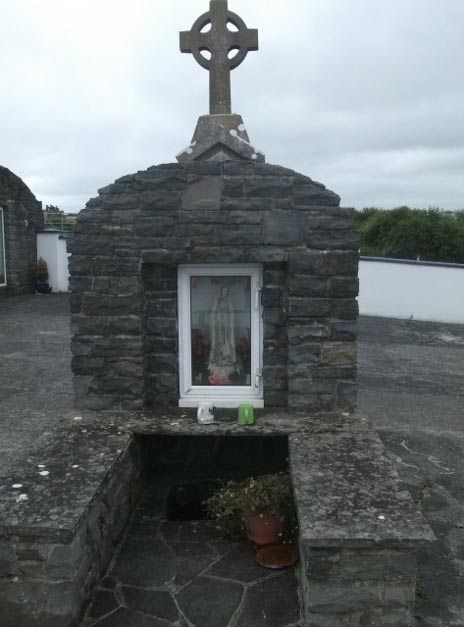 Holy WellHoly well · 1564 yd
 Stop 7: Callan's Augustinian FriaryVisitor information · 1564 yd
 Margaret RyanMemorial · 1575 yd
 The MotteVisitor information · 1647 yd
 Edmund Rice Heritage CentreMuseum · 1.0 mi
 Humphrey O'SullivanMemorial · 1.1 mi
 West CourtCastle, unclassified · 1.1 mi
 Mill IslandIslet · 1.5 mi
 Pedunculate OakPedunculate Oak · 1.6 mi
Other information
Photo: Credit not shown in the picture search · Rights wording not checked; contact us if this picture should be removed