
What is recorded here
Castle, ringwork and bailey in Shanakyle stands on an elevated NE-facing slope in County Tipperary, Ireland, overlooking a stream valley. Its oval bank and deep fosse still mark the place where people once lived, watched the land, and kept what they valued. The nearby enclosure and possible outer bailey suggest a small settled world, not a lonely ruin.
In pasture, on an elevated area of a NE-facing slope, overlooking valley of stream. An enclosure (TS062-029----) lies c. 250m to the NE. An oval area (dims. 38m E-W; 23m N-S) defined by a substantial bank (Wth at top 2.1m; overall Wth 12.7m; int. H 0.9m; ext. H 1.25m) from WSW-W-NNW, a steep scarp (Wth 7.3m; H 3.4m) in the NE quadrant and lower scarp (Wth 5.15m; H 1.2m) from E-S-WSW and a deeply cut, wide fosse (basal Wth 3.9m; overall Wth 13.75m; D 1.85m) from WSW-W-NW and a well-formed, yet shallower fosse from ENE-E-WSW. A ramp-like 'causeway' (Wth 2m) climbs steadily around the curvilinear contour of the bank at NW, accessing the entrance (overall Wth 6m; basal Wth 3m) at N. A causeway (Wth c. 5.5m) at the WSW may be recent. The interior slopes gently to the NE and levels out toward the scarp on the N side. A field boundary, running ENE-WSW, traverses the monument off-centre to the SSE. There are traces of a possible levelled outer bank WSW-W-NW of the monument which may have enclosed a bailey area (dims. 27m E-W) with a possible entrance at the WNW. There are natural water channels to the SW and a narrow, possibly man-made, channel located 18m to the E-SE. Enclosure (TS062-029----) is c. 250m to NE.
Compiled by: Jean Farrelly
Date of upload: 26 August 2011
The monument record does not grant public access. Check the route and ask the landowner before entering private land.
- What survives
- Recorded monument
Places near here
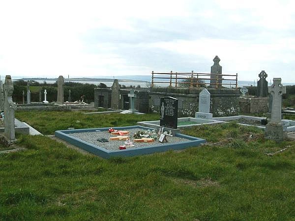 Enclosure in ShanakyleEnclosure · 193 yd
 CrushshuvaunhenryCross, Wayside cross · 517 yd
 ‘Magowry Church (in ruins)’Church · 1043 yd
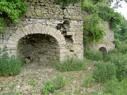 kilnkiln · 1082 yd
 Eagle HillMountain / peak · 1.1 mi
 Saint Johnstown CastleCastle · 1.5 mi
 (Site of) Drangan CastleCastle, unclassified · 2.0 mi
 Knockuragh HillMountain / peak · 2.4 mi
 Slieveardagh Heritage CentreVisitor information · 3.4 mi
 Fenane WoodForest · 4.5 mi
 Silver FirSilver Fir · 5.0 mi
 East GateMemorial · 5.1 mi
Other information
Photo: Credit not shown in the picture search · Rights wording not checked; contact us if this picture should be removed