What is recorded here
Castle Murray Coastal Promontory Fort stands on a Donegal headland, a stone ring built to command the sea and exclude intruders. The exact age and builders are not yet recorded, but the shape speaks plainly: a defensible margin drawn where land ends and water begins. It may have watched ships, stored grain or marked a boundary between neighbours. The missing details do not weaken the place; they invite curiosity about the people who stood there when the Atlantic threw itself against the stones.
The Archaeological Survey of Ireland (ASI) is in the process of providing information on all monuments on The Historic Environment Viewer (HEV). Currently the information for this record has not been uploaded. To access available information for research purposes please make an appointment in advance with the Archive Unit (open Fridays 10.00 am – 5.00 pm), Department of Housing, Local Government and Heritage, The Custom House, Dublin 1 D01W6XO or email NMarchive@housing.gov.ie.
The monument record does not grant public access. Check the route and ask the landowner before entering private land.
- What survives
- Recorded monument
Places near here
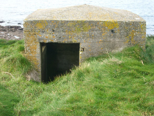 watch tower, pill boxwatch tower, pill box · 4 yd
 Bawn in Rahan NearBawn · 17 yd
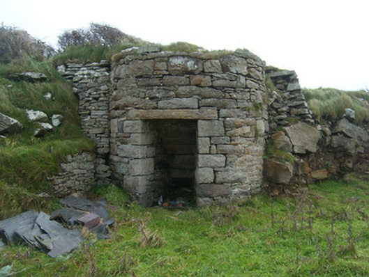 kilnkiln · 334 yd
 Killaghtee Stone RingfortFairy fort / stone ringfort · 567 yd
 Rahan Near Earthen Platform EnclosureEnclosure · 936 yd
 Killaghtee Old Church GraveyardGraveyard · 1009 yd
 GinkgoGinkgo · 1.1 mi
 Wych ElmWych Elm · 1.3 mi
 Rashenny PointHeadland · 2.3 mi
 Carntullagh HeadHeadland · 2.3 mi
 Rotten IslandIslet · 2.4 mi
 Cat CastleCastle, tower house · 2.6 mi