
What is recorded here
Castle, motte in Stephenstown was a flat-topped earth mound beside the River Fane, likely the oldest anchor for the later tower house. It stood low enough to be doubted, yet its shape and company suggested a place where people had watched the water and kept a home for generations. The mound is no longer visible in the land, but the river still passes the spot where a small castle once rose from the soil.
Situated on a slight rise close to the N bank of the River Fane in Stephenstown demesne not far from the tower house of the same name (LH011-051----). It consists of an almost circular low flat-topped mound (summit max. diam. 12m E-W, 11.5m N-S, H at S c. 3.5m, at N c. 2m). It has been disturbed at the NE side by the removal of large trees. The mound is quite low for a motte but its flat top would seem to preclude it from being any other type of monument. Its proximity to the tower house might be a telling factor in favour of it being a motte, indicating continuity of settlement. It was removed between 1966 and 1995 (OSI images).
The above description is derived from both the published 'Archaeological Inventory of County Louth' (Dublin: Stationery Office, 1986) and the 'Archaeological Survey of County Louth' (Dublin: Stationery Office, 1991). In certain instances the entries have been revised and updated in the light of recent research.
Date of revision: 28 April 2016
Built in the late 12th or early 13th century, likely by a local Anglo-Norman lord or garrison, the motte in Stephenstown is important as a defensive and administrative feature associated with the broader medieval settlement and tower house nearby, reflecting early colonial military architecture in the region.
The monument record does not grant public access. Check the route and ask the landowner before entering private land.
- What survives
- Recorded monument
Places near here
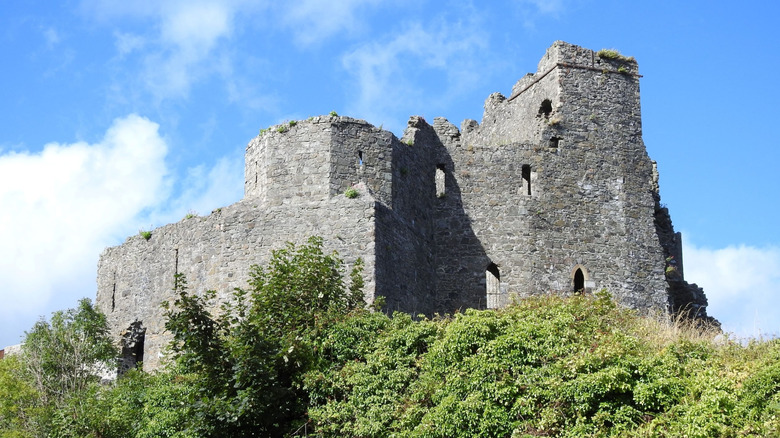
 CastleCastle, tower house · 94 yd
 Enclosure in StephenstownEnclosure · 294 yd
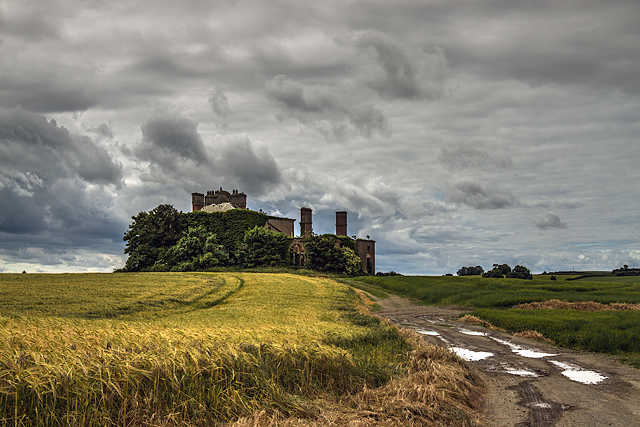 Stephenstown Housecountry house · 520 yd
 Man-made underground passage in Allardstown (louth By)Man-made underground passage · 906 yd
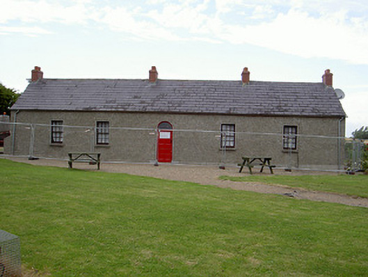 Agnes Burns Cottagehouse · 1121 yd
 Mount AshCastle, motte · 2.4 mi
 BallybarrackMountain / peak · 2.5 mi
 Photo GalleryHeritage attraction · 3.8 mi
 Dundalk CentralHeritage attraction · 3.8 mi
 Maid of ErinMemorial · 4.2 mi
 Bombing 1975Memorial · 4.3 mi
 Soldiers' PointHeadland · 6.1 mi
Other information
Photo: Credit not shown in the picture search · Rights wording not checked; contact us if this picture should be removed