What is recorded here
A small subcircular enclosure (dims c. 32m NW-SE; c. 25m NE-SW) defined by a single indistinct fosse feature is visible on Google Earth (27/06/2019). It was first reported by Anthony Murphy.
See the attached enhanced image from Google Earth
Compiled by: Michael Moore
Date of upload: 4 November, 2019
The monument record does not grant public access. Check the route and ask the landowner before entering private land.
- What survives
- Recorded monument
Places near here
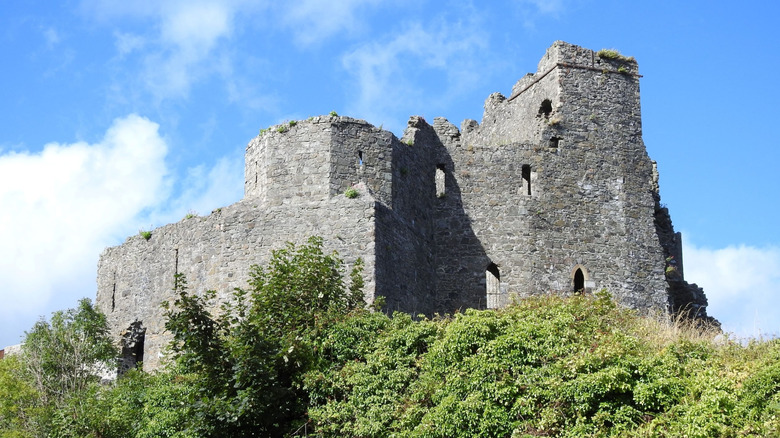
 CastleCastle, tower house · 200 yd
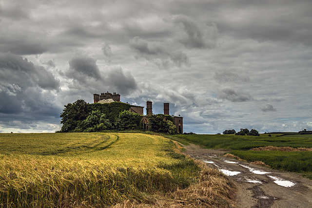 Stephenstown Housecountry house · 605 yd
 Man-made underground passage in BallinloughMan-made underground passage · 840 yd
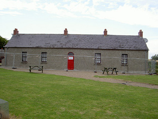 Agnes Burns Cottagehouse · 987 yd
 Man-made underground passage in Allardstown (louth By)Man-made underground passage · 1175 yd
 Mount AshCastle, motte · 2.2 mi
 BallybarrackMountain / peak · 2.4 mi
 Photo GalleryHeritage attraction · 3.7 mi
 Dundalk CentralHeritage attraction · 3.7 mi
 Maid of ErinMemorial · 4.1 mi
 Bombing 1975Memorial · 4.1 mi
 Soldiers' PointHeadland · 6.0 mi
Other information
Photo: Credit not shown in the picture search · Rights wording not checked; contact us if this picture should be removed