
What is recorded here
William de Scurlog, tenant of Hugh de Lacy, gave his name to Scurlockstown and likely raised the oval grass mound at the ridge's north end. The Boyne bends fifty metres away while the Boycetown River runs beside it, creating a narrow choke point where a small castle could watch both waters. A flat top nine metres long still stands above the fields, perhaps holding the ghost of a wooden tower that controlled local trade or resisted neighbouring claims. The parish church waits one hundred twenty metres south, linking the military mound to the daily lives of the townland it named.
Situated at the N end of a low N-S ridge with a W-E section of the River Boyne c. 50m to the NW at a point where the river turns N, and with a S-N section of the Boycetown River immediately to the E. The motte is attributed to William de Scurlog, a tenant of Hugh de Lacy, who gave his name to the townland (Wilde 1849, 104). This is an oval, flat-topped and grass-covered mound (dims of base 30m N-S; dims of top 9m N-S; 4.5m E-W; H 1.6m a W; 4.9m at S to 6.9m at N) with some trees. The parish church of Scurlockstown (ME037-010----) is c. 120m to the S at the other end of the ridge.
The above description is derived from the published 'Archaeological Inventory of County Meath' (Dublin: Stationery Office, 1987). In certain instances the entries have been revised and updated in the light of recent research.
Compiled by: Michael Moore
Date of revision: 2 June 2016
Amended: 21/08/2019
The monument record does not grant public access. Check the route and ask the landowner before entering private land.
- What survives
- Recorded monument
Places near here
 Church (in Ruins)Church · 138 yd
 Scurlogstown CastleArchaeological place · 171 yd
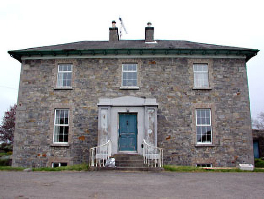 Newtown Parkhouse · 774 yd
 CrossCross, High cross (present location) · 1.1 mi
 Newtown AbbeyCathedral · 1.2 mi
 Trim CastleCastle, Anglo-Norman masonry castle · 1.9 mi
 Small-leaved ElmSmall-leaved Elm · 2.7 mi
 Wych ElmWych Elm · 3.0 mi
 MullaghMountain / peak · 7.9 mi
 Larchil Arcadian GardensHeritage attraction · 8.4 mi
 Kilgar GardensHeritage attraction · 8.4 mi
 Candle HillMountain / peak · 8.5 mi
Other information
Photo: JP · CC BY-SA 2.0